
Saguaro National Park East
AtoZ Places Bucket Location


Abandoned & Ghost Towns

Ancient Ruins

Caves

Desert

Forest

Historical

Hot Springs

Lakes & Rivers

National & State Parks

Peaks






Desert
National & State Parks

Hiking

Cell service limited in backcountry — download maps before hiking
Fire Restrictions: No campfires in day use areas
Pets not permitted — leashed dogs allowed in parking areas and paved roads only
Water: Bring your own — no water on trails
More Info
Plants Foraged
Christmas Cholla

Nearby Locations
Casa Grande Ruins National Monument

Kitt Peak National Observatory

Saguaro National Park East
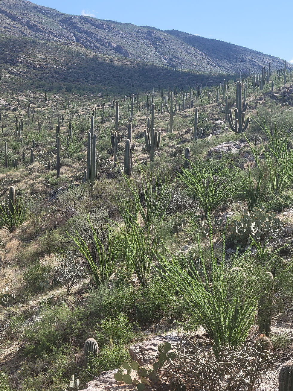
Saguaro National Park exists because someone looked at the foothills east of Tucson and decided the forest growing there was worth protecting. Not a forest of trees — a forest of saguaros. The largest cactus in the United States, capable of living 200 years, growing arms only after 75, and standing as tall as 50 feet. Once you've walked among them, you understand why.
The mountains in the east were born of shifting continental plates and uplift some 20 million years ago. Human habitation in southern Arizona dates back approximately 12,500 years — the first humans hunted the bison and mammoths that roamed the area when it was much more humid and temperate. The Hohokam, who derived from earlier settlers about 1,700 years ago, left the deepest impression. Their petroglyphs remain, although the people who created them have not been around for 500 years.
The Civilian Conservation Corps built the Cactus Forest Drive in the Rincon Mountain District from 1935 to 1939, during President Franklin D. Roosevelt's New Deal era of public works projects. The road they built is still the best way to experience the park.
Cactus Forest Drive
The 8-mile Cactus Forest Loop Drive is a paved one-way road that loops over undulating land and gives a good impression of the landscape — especially the southern section which climbs a little and passes over foothills of the west end of Tanque Verde Ridge, where the saguaro are especially plentiful since they prefer gently sloping ground with better drainage. Allow at least 90 minutes with stops. The drive is open to both cars and cyclists from 7:00 AM to sunset daily.
We did all the stops along the drive on September 28, 2025 — here are the standouts:
Mica View Area Trails (32.21138, -110.7246) We walked various trail connections making a loop from the end of Mica View Access Road. This is where September 28 delivered some real surprises. Along the trail we found a crested saguaro — a rare mutation where the growing tip of the cactus fans out into a fan or crest shape instead of growing upward. Only about 1 in 150,000 saguaros develops this mutation. We also encountered one of the biggest barrel cactus either of us had ever seen — taller than a person, and in full bloom with flowers and fruit on top, as they often are in late September. Large ant hills dotted the sandy flats between the saguaros. The barrel cactus bloom and fruit in late summer through fall — timing a September visit means catching them at their best.
Riparian Overlook (32.19658, -110.70585)
A sweeping view toward the Mica Mountains and the Saguaro Wilderness — rock cliffs, canyon washes, and the depth of the backcountry stretching east toward the high country. This is the view that shows you what the Rincon Mountain District really is: desert at the bottom, wilderness above.
Javelina Rocks (32.17419, -110.71735) A collection of granite boulders worth getting out and exploring. The rocks give the area its name — javelinas are frequently spotted in this area, especially in morning and evening. One mile down the road is the turnoff for the Javelina Picnic Area, with picnic tables, informative panels, and restrooms. Also along this road are the Tanque Verde Ridge and Freeman Homestead trailheads.
Desert Ecology Trailhead (32.20325, -110.72529) An easy stroll — a quarter-mile round-trip paved trail that is wheelchair accessible and informative. You'll be introduced to the plants and animals that live in the Sonoran Desert. Short but genuinely well done — worth the stop even if you're short on time.
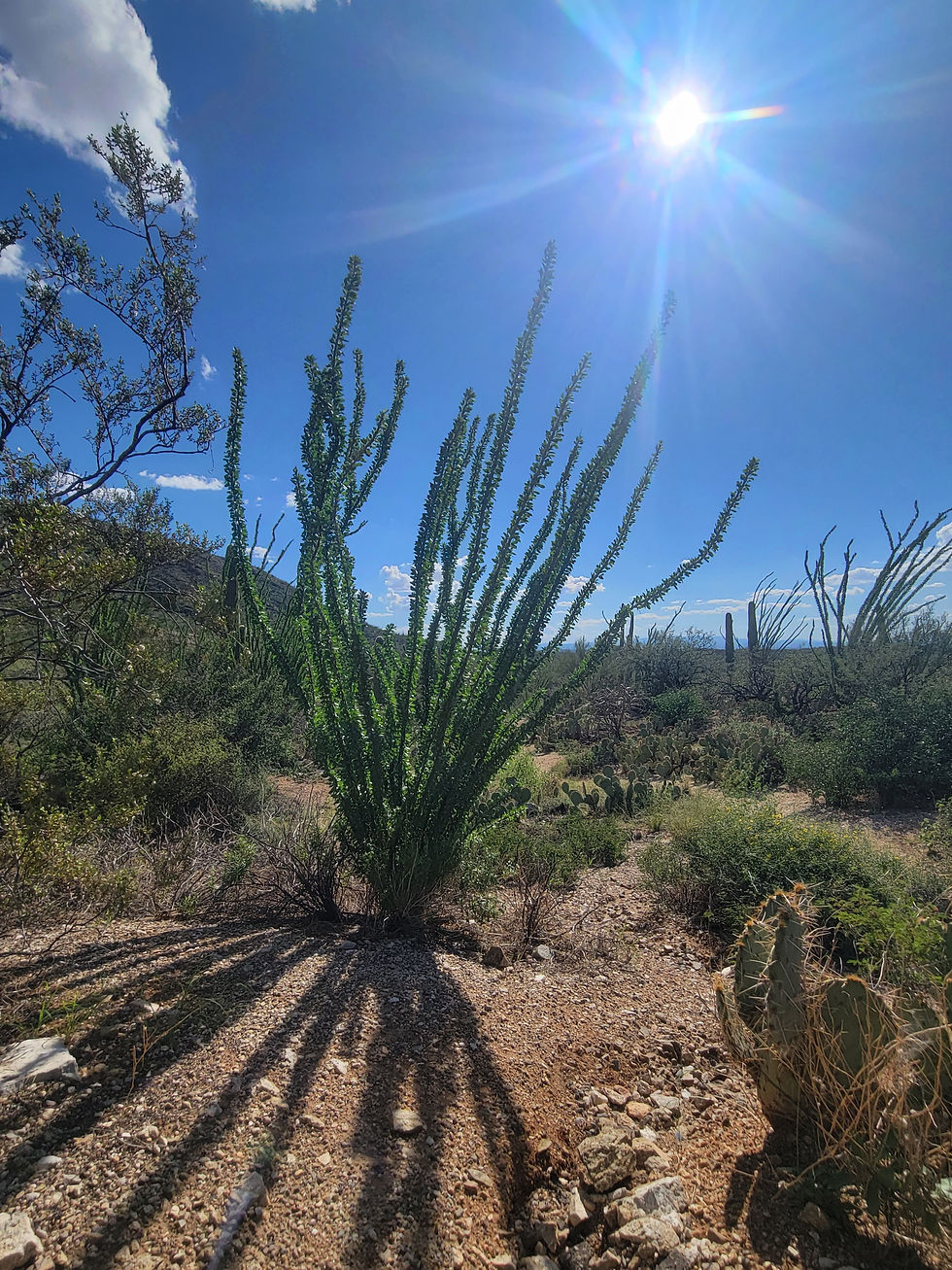
Freeman Homestead Trail (32.1653, -110.72591) Back in 1933, Safford Freeman obtained 640 cactus-covered acres under the Homestead Act. There he built a three-room adobe home with several outbuildings, dug a well, and constructed a corral out of ocotillo branches. The structures are gone — what remains today is the old homestead site and a grove of giant saguaros in a desert wash.
The foundation of the three-room adobe home is clearly visible, along with the square cement box that was the well casing — confirmed. That square structure you're looking at is exactly what it appears to be: the top of the well Freeman dug by hand to survive out here. Standing in what was once a family's living room, surrounded by saguaros that were likely already growing when Freeman filed his claim, is one of those quiet historic moments the park does exceptionally well.
The Freeman Homestead Trail is a 1-mile round trip to the site of the old homestead foundation, a grove of large saguaros, and a desert wash. Flat, well-marked, and easy for all ages.
The Backcountry
For a full-fledged desert adventure, the steep and rocky Tanque Verde Ridge Trail climbs to the summit of Mica Mountain at 8,666 feet and back in 20 miles — backcountry camping permit required for overnight use at $8. The wilderness up there — grassland, oak woodland, pine forest — is a completely different world from the saguaro forest below.
More Information
Entrance fee: $25 per vehicle / $20 motorcycle / $15 per person — valid 7 days; America the Beautiful pass accepted (2026)
Cactus Forest Loop Drive: 8 miles paved, one-way, open 7:00 AM to sunset daily — cars and cyclists
Visitor Center: open daily 9:00 AM–5:00 PM except Christmas Day
Backcountry wilderness camping by permit only ($8) — required for Mica Mountain and all wilderness overnight use; obtain permit at the visitor center. No camping within the Cactus Forest Drive area.
#SaguaroNationalPark #RinconMountains #CactusForestDrive #Saguaro #TucsonArizona #NationalPark #SaguaroWilderness #ArizonaHiking #SonoranDesert #CrestedSaguaro #BarrelCactus #FreemanHomestead #AZPlaces #NationalParks #PimaCount
Arizona
3693 S Old Spanish Trail, Tucson, AZ 85730, USA

Pima County
32°10'48.7"N 110°44'11.1"W
Elevation: 2,670 feet
Directions
From Phoenix, AZ: Take I-10 South to Tucson. Take Exit 275 toward Old Spanish Trail. Head east on Old Spanish Trail approximately 3 miles to the park entrance at 3693 S Old Spanish Trail, Tucson, AZ 85730. (~110 miles, ~1 hour 30 minutes — verify with Google Maps)
Visitor Center: 3693 S Old Spanish Trail, Tucson, AZ 85730 | Open daily 9:00 AM–5:00 PM except Christmas Day | nps.gov/sagu


Best Seasons & Temperatures
Fall is exceptional — September and October bring barrel cactus blooms and fruit, cooler mornings, and active wildlife. Winter is mild and quiet — one of the best times to visit. Spring brings wildflowers and bird activity. Summer is brutal at desert elevation — if you go, arrive at sunrise and leave by 10 AM. Best light for photography is early morning or late afternoon when the saguaros glow warm against the Rincon Mountains.
Saguaro National Park East Cactus Forest Drive, Rincon Mountains, Tucson Arizona
September 28, 2025