
Silver Bell Cemetery
AtoZ Places Bucket Location


Abandoned & Ghost Towns
Caves
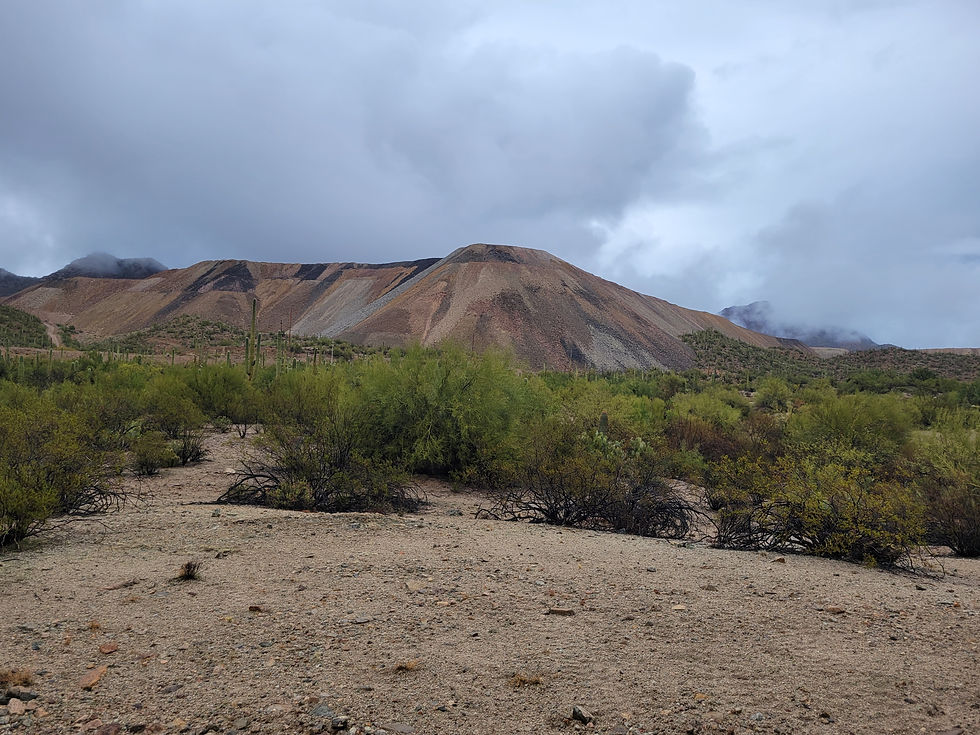
Desert
Forest
Historical & Ancient Ruins
Hot Springs
Lakes & Rivers
National & State Parks
Peaks


Abandoned & Ghost Towns
Historical & Ancient Ruins
Exploring
Dirt road access; high clearance recommended
No facilities on site — no water, no restrooms
Water: No potable water; pack in your own supply.
More Info
Have you been here?
Nearby Locations
Titan II Missile Interpretive Site

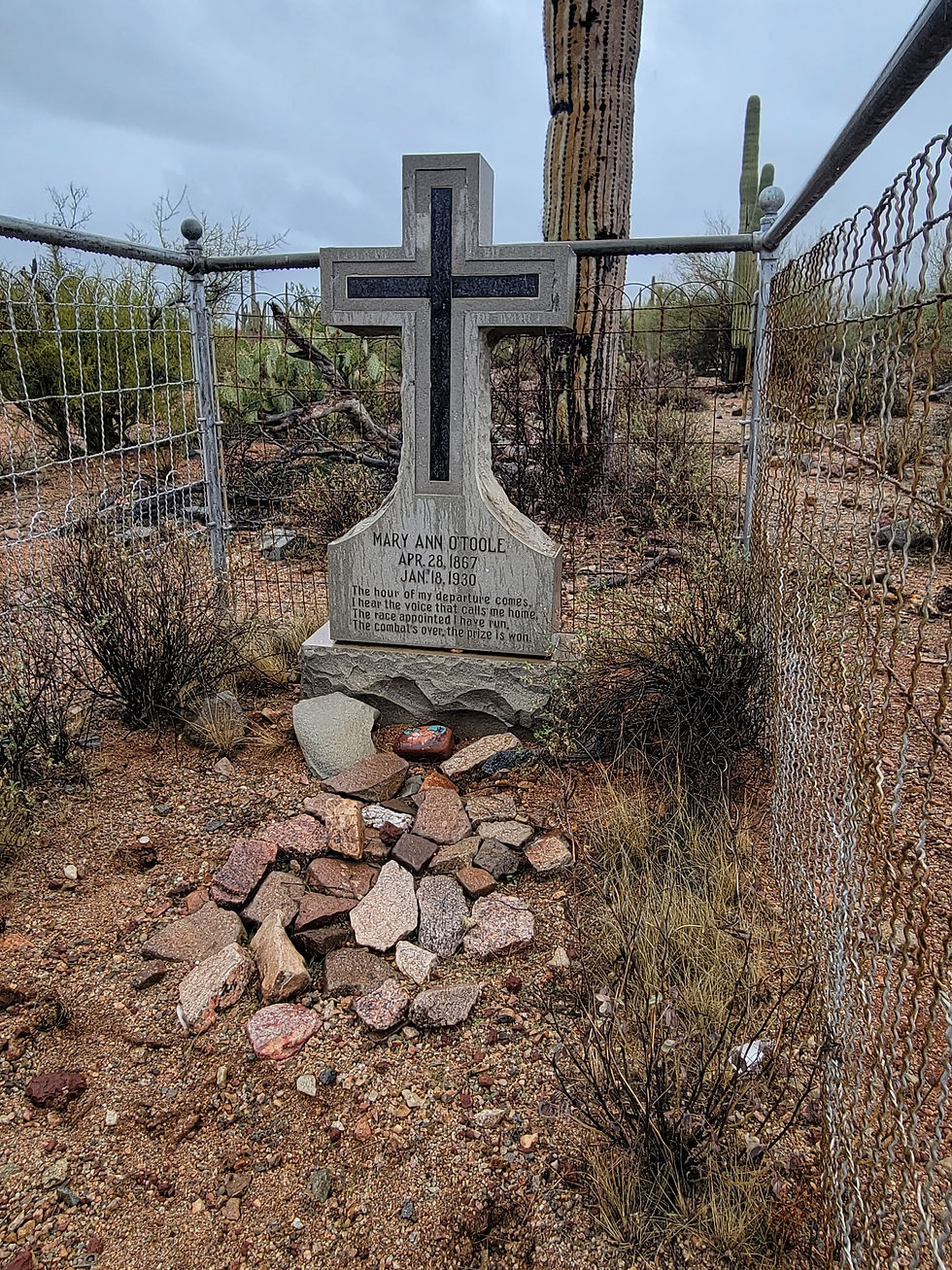
Silver Bell Cemetery
The Silver Bell Cemetery is the only thing left of a town that once held over a thousand people. The earliest community in this area was Pelton, which boasted a population of 276 people in 1882 and lasted until about 1901, supporting the Young America and Old Boot mines. In 1902, most of the mines in the area were acquired by the Imperial Copper Company, which created the first community of Silver Bell — a town that at its peak housed as many as 1,000 people, with mercantile stores, saloons, laundries, bakeries, a post office, a hospital, and a school.
Violence and sanitation issues plagued the town, and to some it was known as the "hell-hole of Arizona." Many of those buried in the cemetery were victims of the poor conditions of living in Silverbell, and a number of the graves belong to children. Disease and mining accidents also claimed victims here.
Imperial declared bankruptcy in 1911, resulting in population decline. ASARCO assumed ownership and brought a temporary rebound, but by 1930–1931 the population had dropped from roughly five hundred residents to around forty-five after copper mining was suspended. A couple decades later, in 1954, the town was completely abandoned. The buildings that once stood here were demolished and consumed by the expanding mine site. Today, the cemetery is all that remains.
There were 131 recorded burials at the Silver Bell Cemetery, which is protected by the Bureau of Land Management within the Ironwood Forest National Monument. Residents of Silver Bell as well as ranchers from the surrounding area were buried here.
The connection to Sasco runs deep. A railroad was built between Red Rock on the Southern Pacific Railroad and Silver Bell, and it passed through Sasco — a town of 600 people — on its way. A large smelter and powerhouse at Sasco served the Silver Bell mines. Both sites can be visited on the same day, and many people do exactly that.
The Silver Bell Historical Society was formed in 2018 with a vision of preserving the history of the communities that existed within the Silver Bell Mountains. Every member of the board lived in the later town of Silver Bell, which existed from 1951 until 1984. Their work continues today.
Please treat this site with respect. Do not disturb grave markers or remove anything from the site. This cemetery is protected under federal law.
More Information:
Two Silver Bell cemeteries exist — the main accessible one is inside Ironwood Forest National Monument near the old BS&K Mine
Do not disturb grave markers or remove anything — federally protected site
Respect the graves; many belong to children
#SilverBellCemetery #GhostTownArizona #ArizonaHistory #IronwoodForest #AbandonedArizona #MiningHistory #HistoricCemetery #SouthernArizona #AZPlaces #DesertExploring #ArizonaGhostTowns #Silverbell #ForgottenArizona
Arizona
CCPQ+7C Marana, AZ

Pima County
32.43567, -111.56152
Elevation: 2,250 ft
Directions
From Phoenix, AZ: Take I-10 South to Exit 226 (Red Rock). Turn right (west) on Sasco Road. Continue past the Sasco Ghost Town ruins. Keep following Sasco Road west approximately 10 more miles to the Silver Bell Cemetery on the right side of the road. High clearance recommended. (~100 miles, ~1 hour 30 minutes)
Combined day trip: Sasco Ghost Town and Silver Bell Cemetery make an excellent same-day pairing — visit Sasco first, then continue west on Sasco Road to the cemetery.

Silver Bell Cemetery, Ironwood Forest National Monument, Arizona
January 21 2024