Arizona's National Forests
"Discover the Wild Heart of Arizona"


Coronado National Forest
From desert valleys to pine-covered sky islands, Coronado National Forest spans 12 mountain ranges in southern Arizona—offering hiking, camping, birding, and some of the richest biodiversity in the U.S.
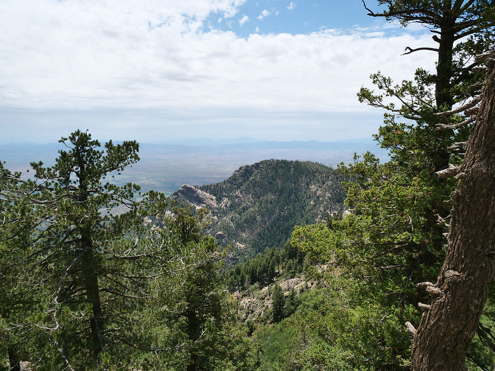
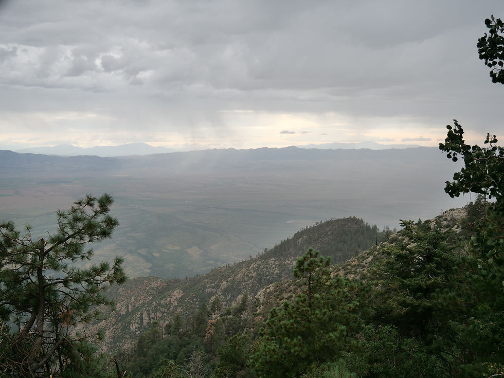
The Coronado National Forest covers over 1.7 million acres of striking contrasts, where sky islands rise dramatically from desert floors and rugged mountain ranges create cool, forested refuges above the arid lowlands. Named for Spanish explorer Francisco Vázquez de Coronado, this forest is a mosaic of diverse ecosystems that stretch across 12 widely separated mountain ranges, including the Santa Catalina, Chiricahua, Huachuca, and Pinaleño Mountains.
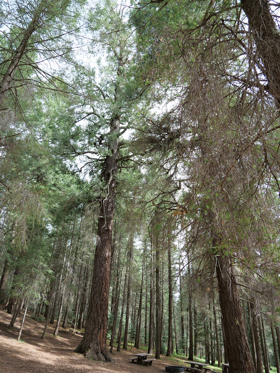
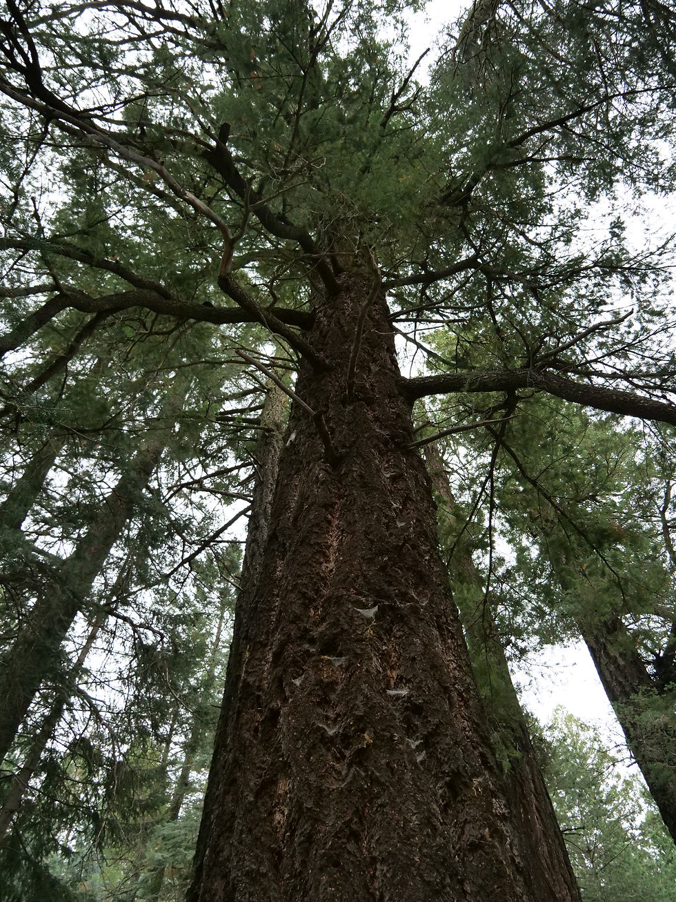
With elevations ranging from 3,000 to over 10,700 feet (at Mount Graham, the highest point in the forest), Coronado offers everything from saguaro-dotted deserts and oak woodlands to pine forests, aspen groves, and alpine meadows. The range of climates and landscapes allows for year-round recreation, with cool mountain hiking in summer and desert exploration in winter.
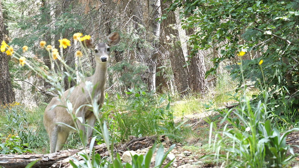
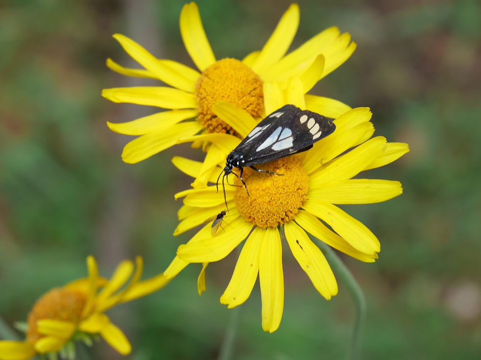
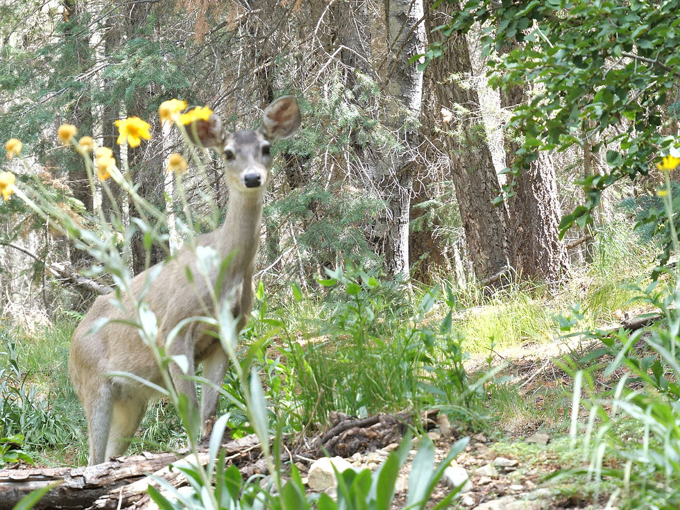
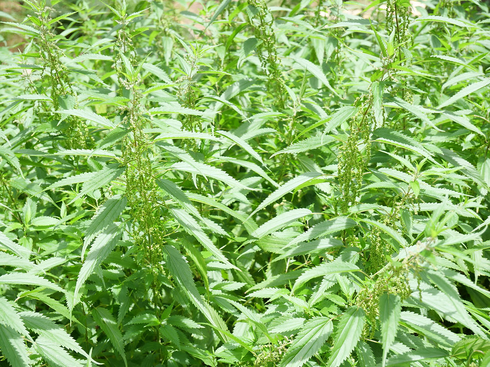
This forest is a hotspot for biodiversity, home to over 600 species of animals and 3,000 species of plants—some found nowhere else on Earth. Visitors may spot coatimundis, Gould’s turkeys, black bears, javelina, Mexican spotted owls, and even jaguars and ocelots, which occasionally roam up from Mexico.
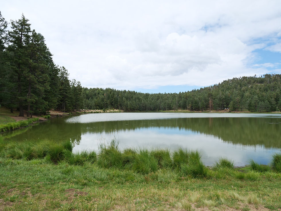
Recreation abounds with camping, hiking, birdwatching, scenic drives, mountain biking, rock climbing, and cave exploring. Popular spots include Mount Lemmon, Madera Canyon, Cave Creek Canyon, and Carr Canyon. Stargazers and science enthusiasts are drawn to the Mount Graham International Observatory, perched high in the Pinaleños.
Plan Your Visit
Elevation Range: ~3,000 to 10,700 feet
Seasons: Year-round; low desert areas best in fall–spring, high elevations great spring–fall
Nearest Towns: Tucson, Sierra Vista, Douglas, Nogales, Safford
Popular Areas: Mount Lemmon, Chiricahua Mountains, Madera Canyon, Mount Graham
Camping: Both developed campgrounds and remote dispersed camping available
Top Activities: Hiking, birding, wildlife watching, camping, scenic drives, astronomy, climbing, biking
Mount Graham (Pinaleño Mountains)
Safford Ranger District


Arizona
Graham County
M4CG+6W6 Fort Grant, AZ

32°40'13.9"N 109°52'21.9"W
3 hours 50 minutes
184 miles
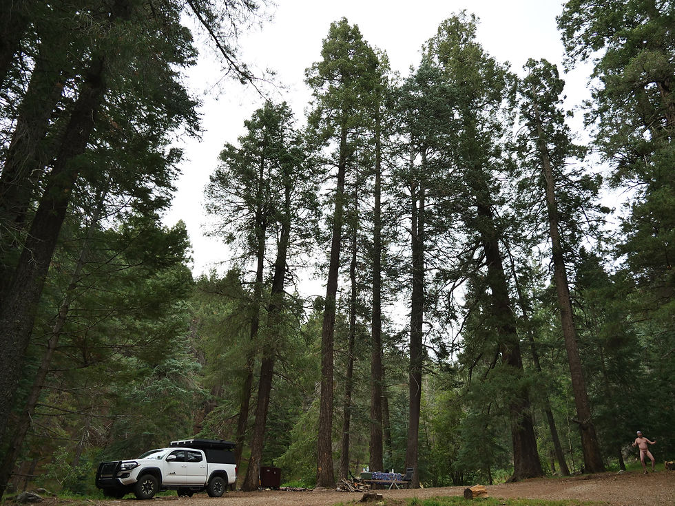
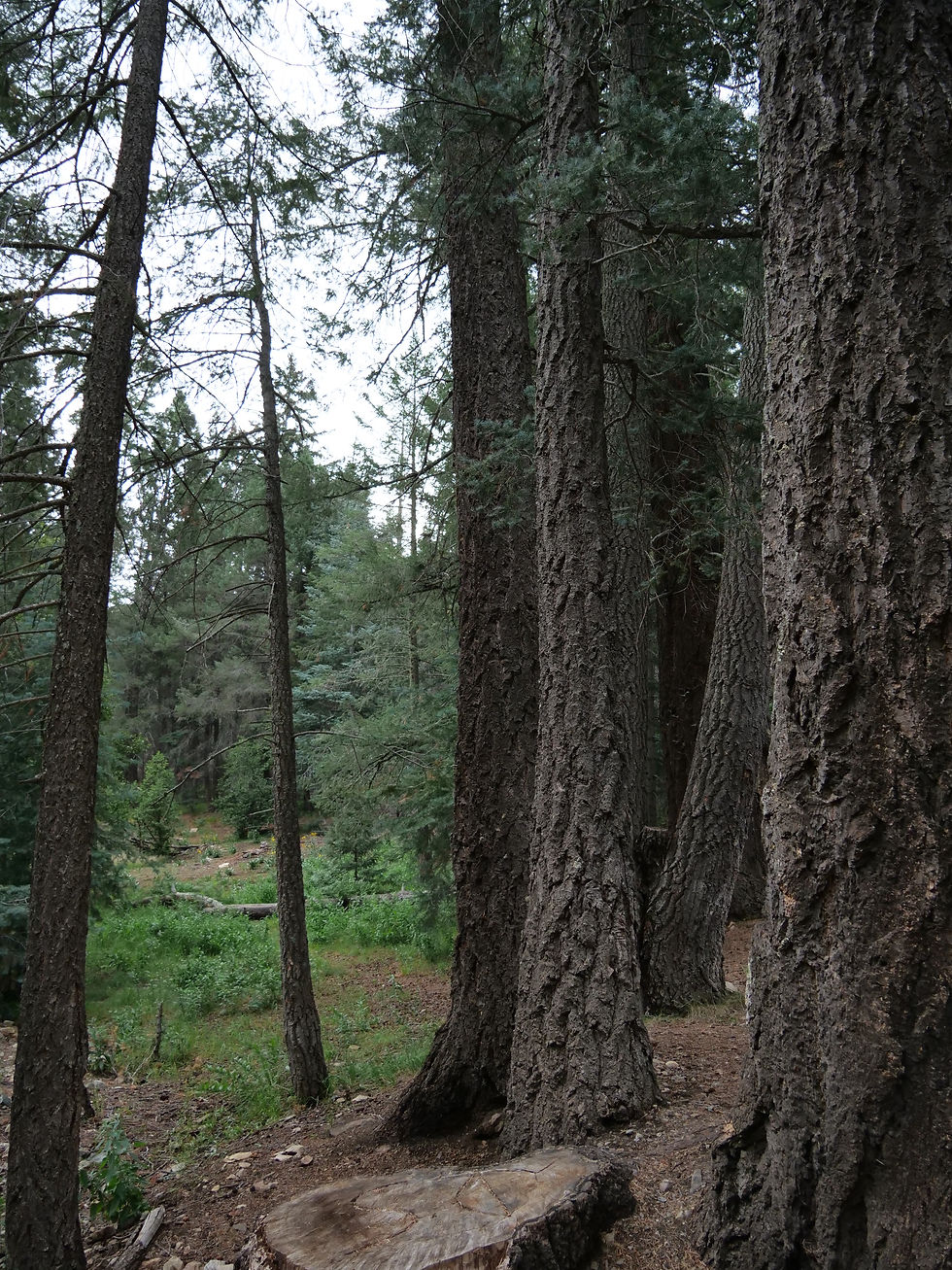
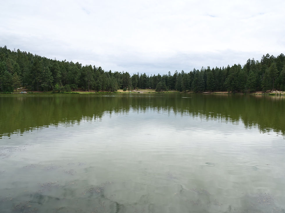
Mount Graham — the 10,720-foot summit of the Pinaleño Mountains — is Arizona's tallest sky island range in the Coronado National Forest near Safford, offering dramatic elevation changes, ancient mixed-conifer forest, Riggs Flat Lake, and some of the most diverse wildlife in North America including the endangered Mount Graham red squirrel.
Ranger Districts
Douglas Ranger District
(520) 364-3468
1192 West Saddleview Rd., Douglas, AZ 85607
Nogales Ranger District
(520) 761-6000
303 Old Tucson Rd. Nogales, AZ 85621
Safford Ranger District
(928) 428-4150
711 14th Avenue Suite D, Safford, AZ 85546
Santa Catalina Ranger District
(520) 749-8700
5700 N. Sabino Canyon Rd., Tucson, AZ 85750
Sierra Vista Ranger District
(520) 378-0311
4070 South Avenida Saracino, Hereford, AZ 85615
