
Arizona's National Forests
"Discover the Wild Heart of Arizona"


Apache-Sitgreaves National Forest
Explore the stunning landscapes of Apache-Sitgreaves National Forest, where pine-covered mountains, clear rivers, and wildlife-rich meadows create the perfect backdrop for camping, hiking, fishing, and outdoor adventure in eastern Arizona.
The Apache-Sitgreaves National Forest is a vast and diverse expanse of protected public land spanning over 2.6 million acres across the high country of eastern Arizona. Known for its breathtaking landscapes, cool mountain air, and abundant outdoor opportunities, this forest is a haven for adventurers, campers, hikers, anglers, and wildlife watchers alike.
This area is made up of two distinct forests — the Apache National Forest to the east and the Sitgreaves National Forest to the west — which were administratively combined in 1974. Together, they feature dramatic mountain ranges, lush pine forests, meadow-filled valleys, and more than 30 lakes and 1,000 miles of rivers and streams, including the scenic Black River, Little Colorado River, and Blue River.
Recreational activities abound here, from dispersed and developed camping, fishing, kayaking, and horseback riding, to ATV trails, hiking through canyons and high-elevation pine forests, and wildlife photography. The region supports a rich diversity of animals, including elk, deer, black bears, wild turkeys, foxes, and wild horses, along with many bird species.
With elevations ranging from 3,500 to over 11,000 feet, the climate varies widely, offering a cool retreat in summer and snow-filled landscapes in winter. Popular camping areas include the Mogollon Rim, Big Lake, Hannagan Meadow, Black River, and the White Mountains. Whether you're looking for peaceful solitude, riverside camping, or a base for multi-day hiking and fishing adventures, this forest delivers.
Plan Your Visit
Seasons: Spring through Fall are the most popular; some areas are accessible year-round.
Nearest Towns: Show Low, Pinetop-Lakeside, Springerville, Alpine, Heber-Overgaard, and Greer.
Camping Options: Dispersed camping is widely available; developed campgrounds offer vault toilets and picnic areas. Most sites are first-come, first-served.
Permits: Not required for dispersed camping; fees may apply in developed areas and campgrounds.
Wildlife Caution: Be bear aware and follow Leave No Trace principles.
AZplaces operates under permit on the Apache-Sitgreaves National Forest within the Black Mesa Ranger District.
Ranger Districts
Apache-Sitgreaves National Forest
Alpine Ranger District
(928) 339-5000
P.O. Box 469 42634 Hwy. 180/191, Alpine , AZ 85920
Black Mesa Ranger District
(928) 535-7300
P.O. Box 968 2748 East AZ 260, Overgaard, AZ 85933
Clifton Ranger District
(928) 687-8600
397240 AZ 75 Duncan, AZ 85534
Lakeside Ranger District
(928) 368-2100
2022 W White Mtn. Bl. Lakeside, AZ 85929
Springerville Ranger District
(928) 333-6200
30 S. Chiricahua Drive Springerville, AZ 85938

Bear Canyon Lake
Black Mesa Ranger District


Arizona
Coconino County
Bear Canyon Lake, AZ 85541

34.40271, -111.00302
2 hours 30 minutes
134 miles
Bear Canyon Lake is one of the most rewarding dispersed camping destinations on the Mogollon Rim — a beautiful, narrow, canyon-bound lake at 7,560 feet in the Apache-Sitgreaves National Forest, stocked with rainbow trout six times a year, surrounded by mixed conifer and aspen, and tucked far enough off the main road that solitude is almost always guaranteed.
Bear Springs | Sunny Park (FR 124)
Black Mesa Ranger District


Arizona
Navajo County
8HV6+VMJ Heber-Overgaard, Arizona
34°20'43.5"N 110°26'15.6"W
2 hours 45 minutes
153 miles
Discover the beauty of Arizona along Forest Road 124 in the Apache-Sitgreaves National Forest. This scenic destination features rugged forest terrain, towering ponderosa pines, and open meadows dotted with vibrant wild mushrooms. Visitors can also witness burn scars from the historic Rodeo-Chediski Fire, now blending with vibrant new growth—a powerful testament to nature's resilience. Wildlife you may encounter include wild horses, jackrabbits, deer, foxes, and squirrels.
Black Canyon (FR 300)
Black Mesa Ranger District


Arizona
Navajo County
866W+V23 Forest Lakes, Arizona, USA
34°18'43.7"N 110°45'17.8"W
2 hours 15 minutes
130 miles
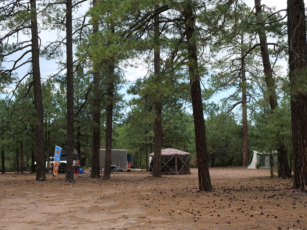
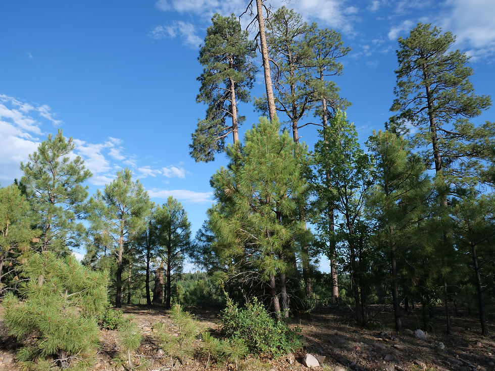
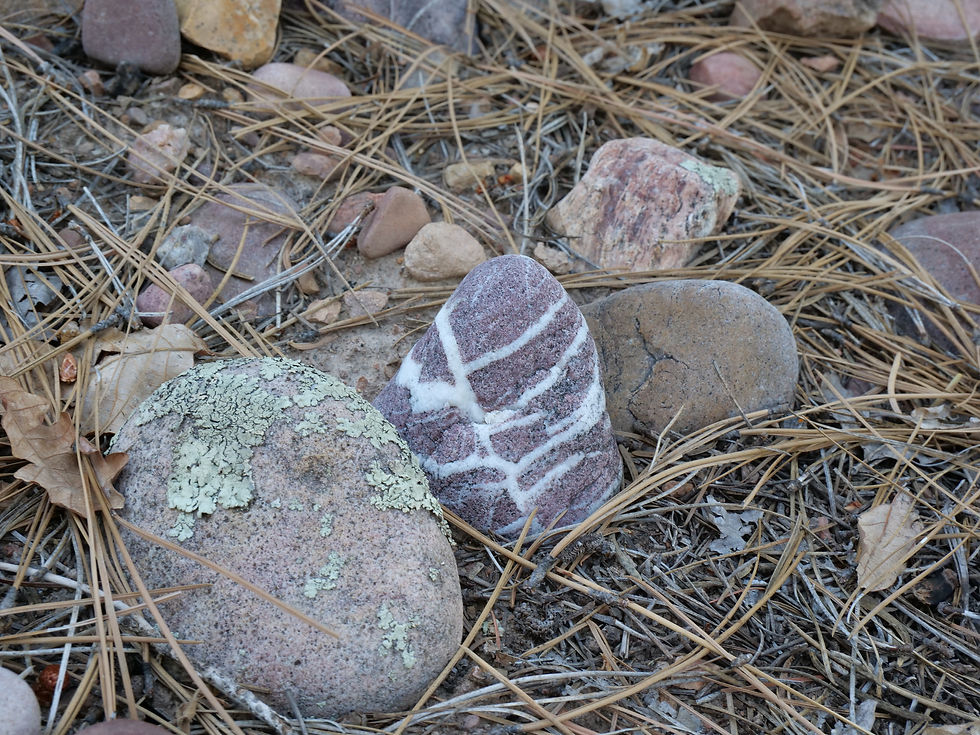
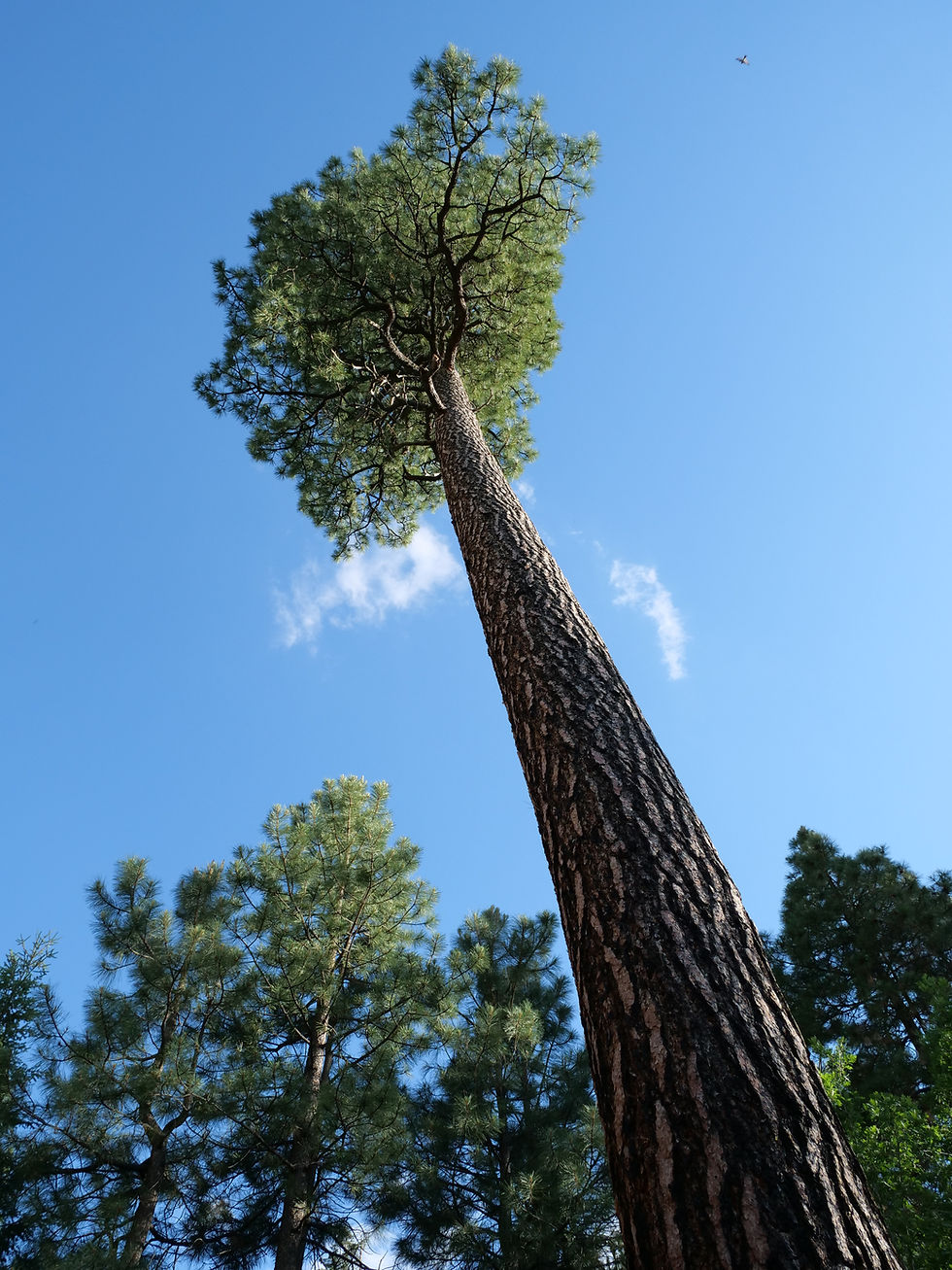
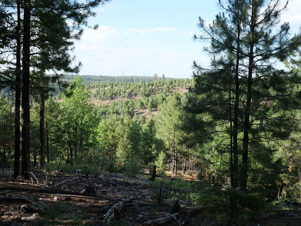
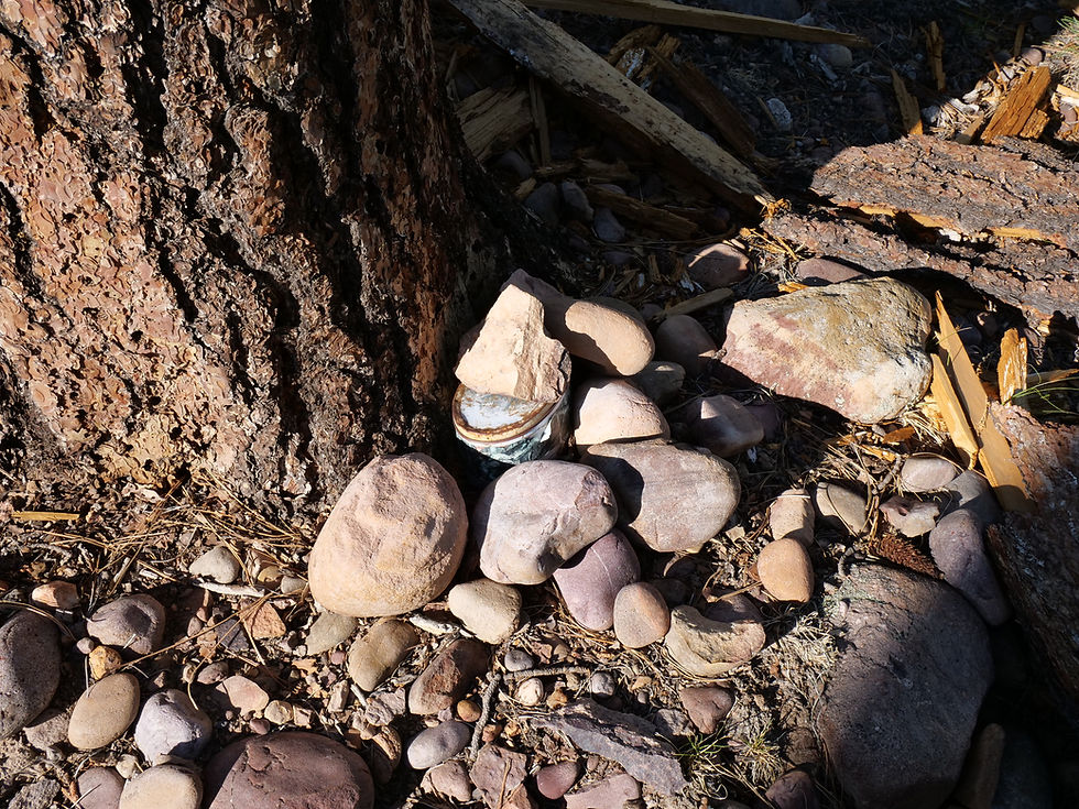
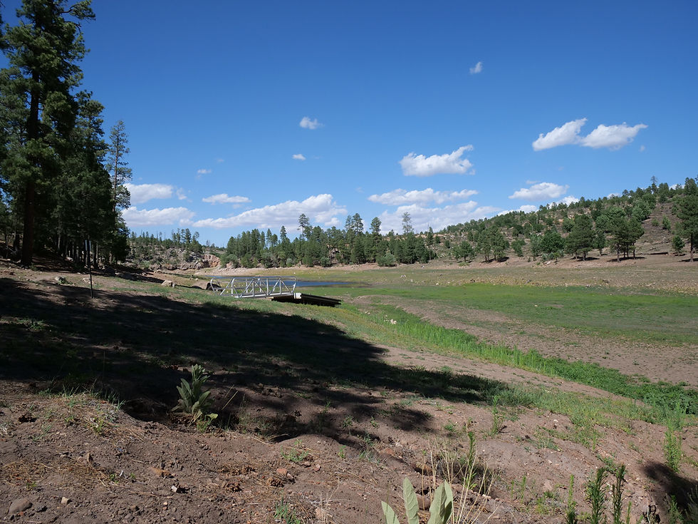
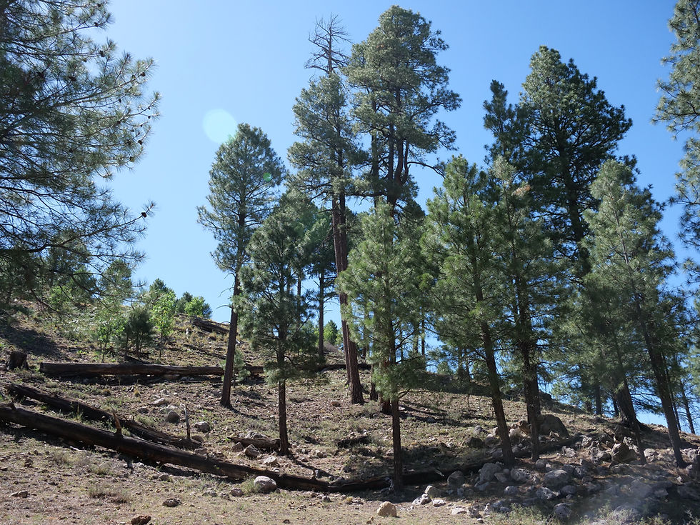
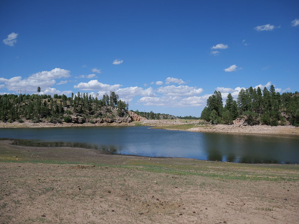
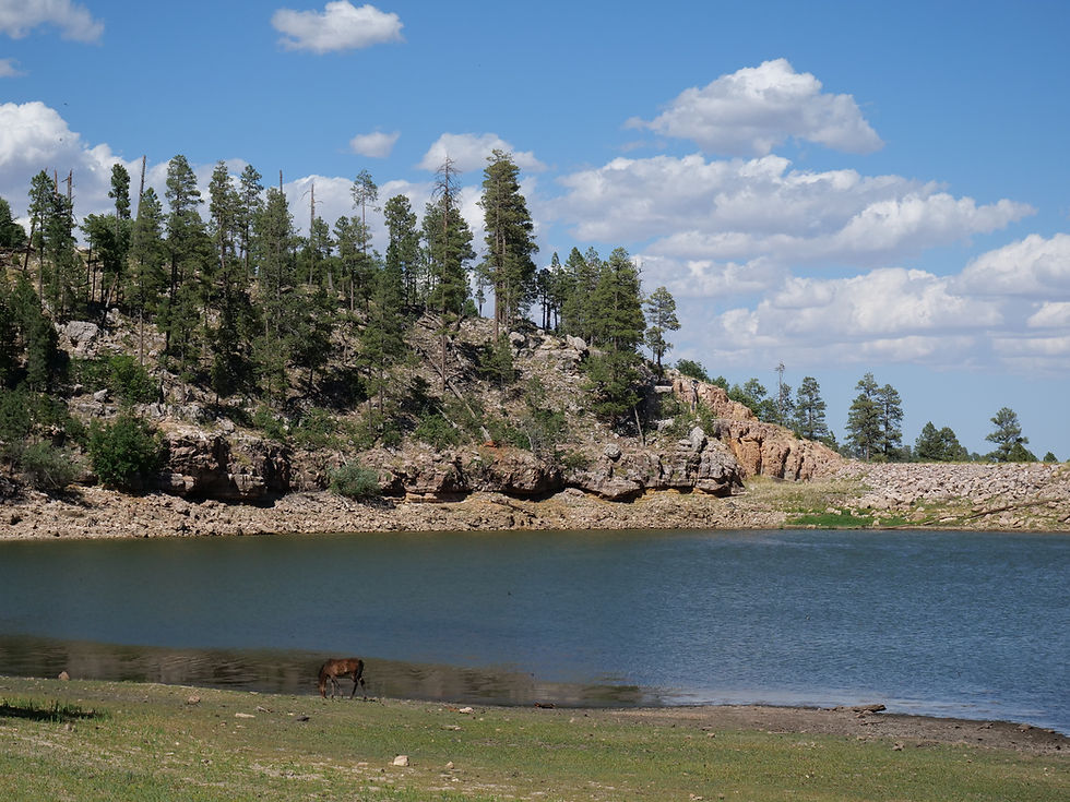
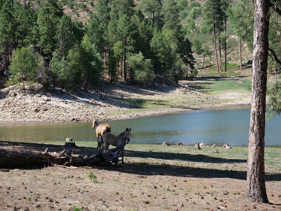
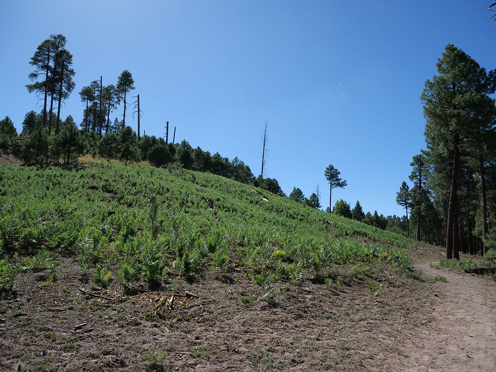
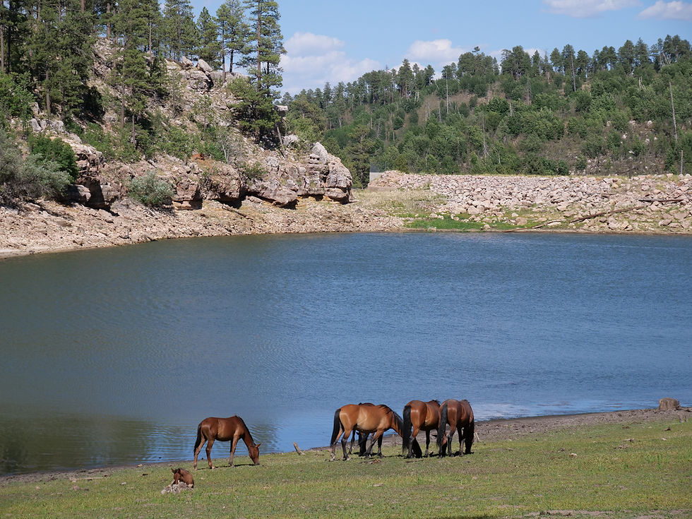
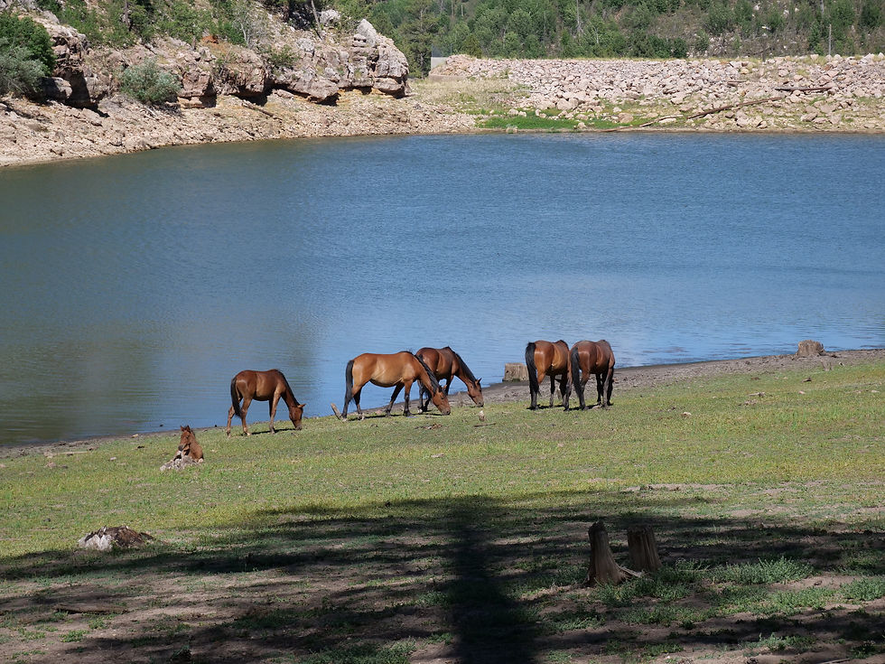
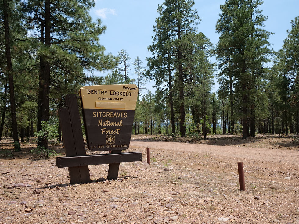
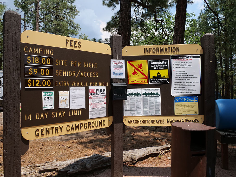
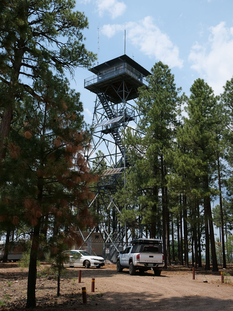
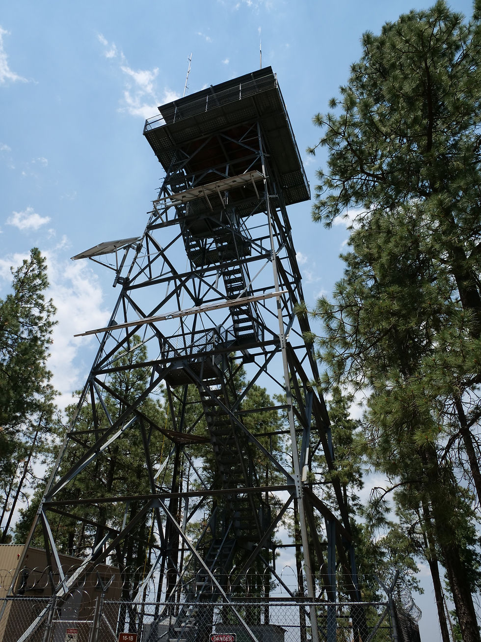
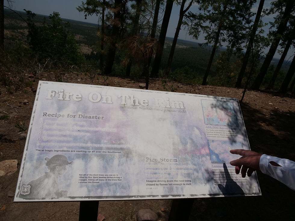
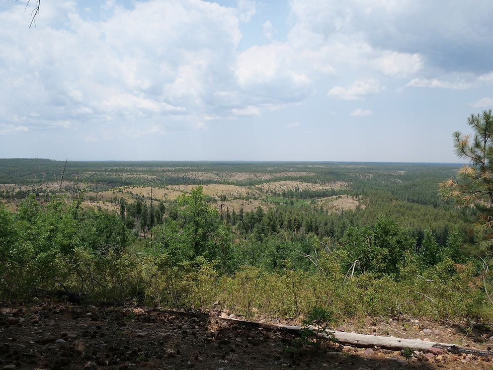
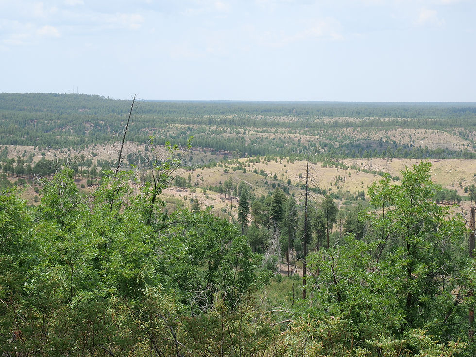
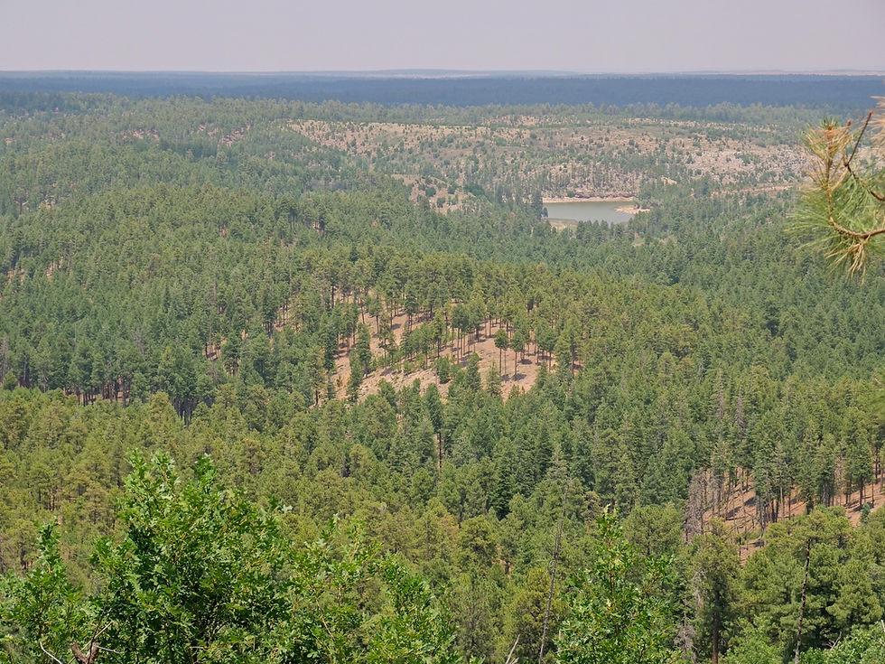
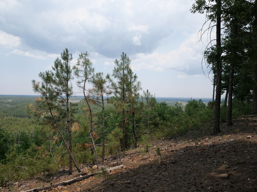
Black Canyon Rim Road (FR 300) in the Apache-Sitgreaves National Forest is a ponderosa pine forest corridor at 7,060 feet on the Mogollon Rim — home to wild horses at Black Canyon Lake, the historic Stott, Scott and Wilson gravesite from the Pleasant Valley War, Gentry Lookout Tower views across the rim, dispersed camping, and the General Crook Trail through one of the quietest and most rewarding corners of northeastern Arizona.
Black Canyon Lake
Black Mesa Ranger District
Arizona
Navajo County
87HX+WM8 Forest Lakes
34.32979, -110.70081
2 hours
115 miles
Black Canyon Lake is a scenic 78-acre trout fishing lake on the Mogollon Rim in the Apache-Sitgreaves National Forest — a quiet alternative to the more visited Rim Lakes, with forested shoreline, electric motor boating, and wild horses known to stop at the water's edge.
Black River (Fork Confluence)
Alpine Ranger District


Arizona
Apache County
QJ3P+MX6 Three Forks, AZ
33°45'15.0"N 109°21'45.3"W
4 hours 40 minutes
231 miles
The confluence of the East Fork and West Fork Black River in the Apache-Sitgreaves National Forest is one of Arizona's most rewarding dispersed camping destinations — reached via the short but rough Home Creek Road (FR 8750), with trout fishing, a spillway swimming hole, and genuine high-country solitude at nearly 7,500 feet.
Black River (West Fork)
Alpine Ranger District


Arizona
Apache County
QHQQ+MXW Three Forks, Arizona
33°47'22.5"N 109°24'39.7"W
4 hours 45 minutes
231 miles
The West Fork of the Black River along FR 68 in the Apache-Sitgreaves National Forest is one of Arizona's most rewarding high-elevation dispersed camping destinations — a clear mountain river at 7,740 feet surrounded by towering ponderosa pine, wild horses, abundant wildlife, and a short hike to Colonel Spring for fresh cold water, in the heart of White Mountains country that bears the scars and recovery of Arizona's largest wildfire.
Chevelon Canyon Lake
Black Mesa Ranger District


Arizona
Coconino County
Chevelon Canyon Lake, Apache-Sitgreaves National Forest, AZ, USA
34°30'33.8"N 110°50'27.4"W
3 hours
160 miles
Chevelon Canyon Lake, nestled on the Mogollon Rim in northern Arizona, is a serene, hidden gem offering fishing, hiking, and camping. Accessible via a challenging hike, this narrow reservoir is surrounded by rugged canyon views, perfect for nature lovers seeking adventure.
Mogollon Rim — FR 171 (Old Rim Road)
Black Mesa Ranger District


Arizona
Gila County
74VF+857 Forest Lakes, Arizona
34°17'32.2"N 110°52'03.5"W
2 hours
122 miles
Escape into Arizona’s rugged high country along FR 171 and Young Road, where peaceful pine forests, dispersed campsites, and rim-edge views invite backcountry adventure. Located within easy reach of Willow Springs Lake for fishing and picnics, this quieter alternative to the main Rim Road is perfect for wildlife watching, off-grid camping, and exploring the cool, scenic landscapes of the Mogollon Rim region.
Mogollon Rim — FR 9350
Black Mesa Ranger District




Arizona
Navajo County
82V5+CCX Christopher Creek
34°20'37.0"N 110°59'29.0"W
2 hours
123 miles
Forest Road 9350 on the Mogollon Rim in the Coconino National Forest is a dispersed camping corridor at approximately 7,400 feet in the ponderosa pine and aspen country of the Rim Road 300 corridor — a popular rim-edge destination with sweeping views that draws consistent crowds, easy access to Woods Canyon Lake 3.6 miles from the FR 9350 and FR 300 junction, and the fall aspen color that makes this section of the rim one of the most visited dispersed camping areas in the Coconino National Forest.
Willow Springs Lake
Black Mesa Ranger District


Arizona
Coconino County
Willow Spring Canyon, Arizona 85931, USA
34°18'49.9"N 110°52'35.1"W
2 hours 5 minutes
120 miles
Willow Springs Lake is the second most visited lake on the Mogollon Rim — a beautiful 158-acre reservoir set in the ponderosa pine forest at 7,500 feet, offering excellent trout and bass fishing, kayaking, and one of the most scenic shoreline views on the rim.
Woods Canyon Lake
Black Mesa Ranger District


Arizona
Coconino County
83M4+WC Forest Lakes Estates, AZ
34°20'00.7"N 110°56'40.9"W
2 hours 10 minutes
123 miles
Woods Canyon Lake is the most popular and accessible lake on the Mogollon Rim — a beautiful 158-acre reservoir surrounded by ponderosa pine, stocked weekly with rainbow trout, and equipped with a general store and boat rentals for a full day on the water.