Black Canyon Rim - FR 300
AtoZ Places Bucket Location


Abandoned
Ancient Ruins
Caves
Desert
Forest
Ghost Towns
Historical
Hot Springs
Lakes
National & State Parks
Peaks
Rivers

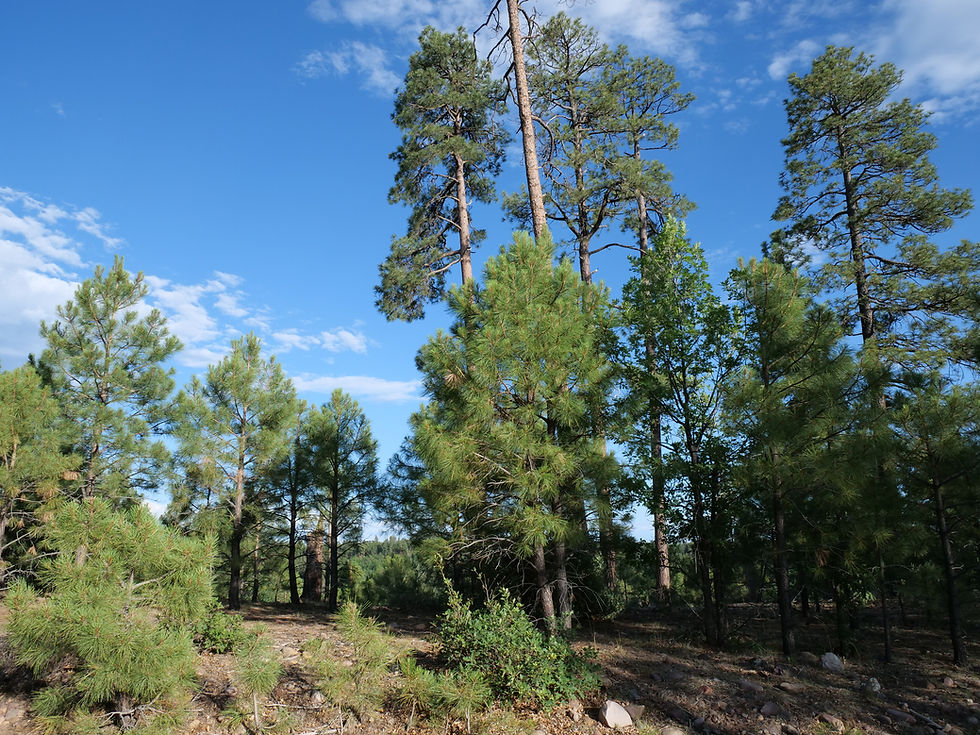
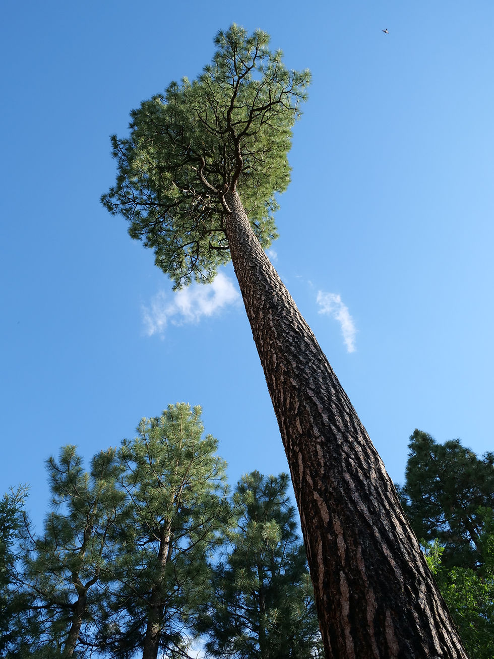
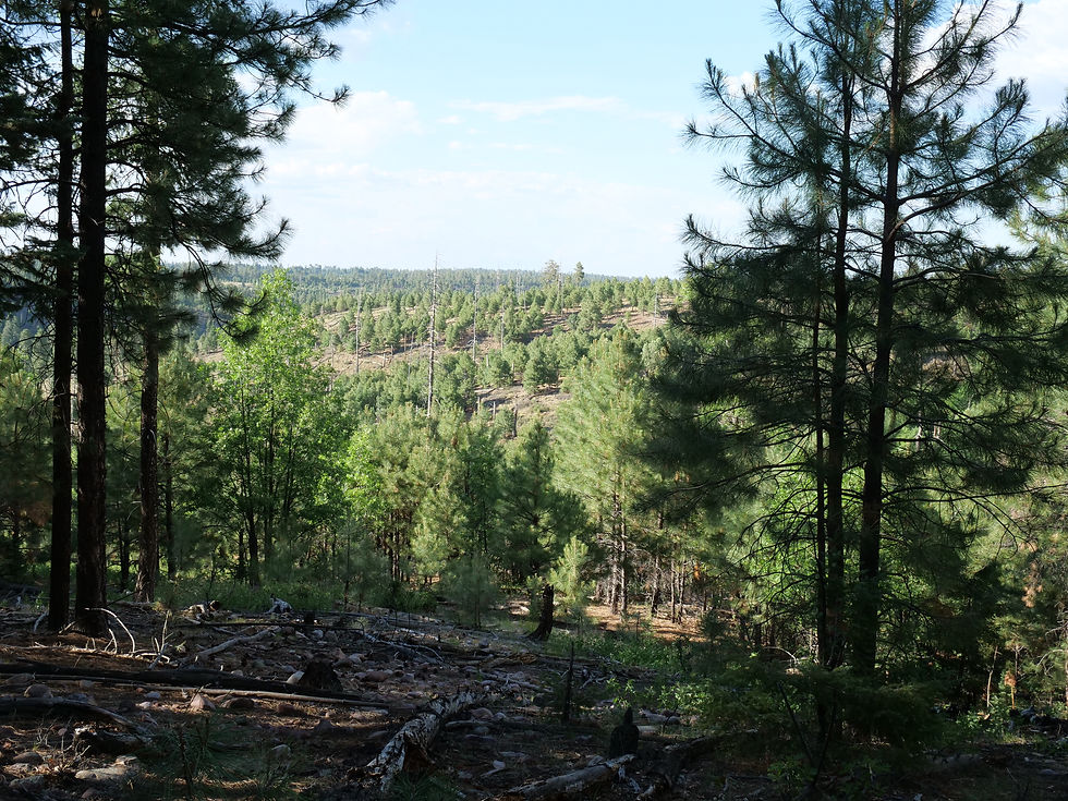
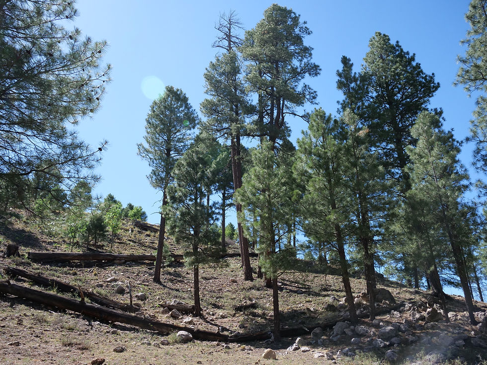
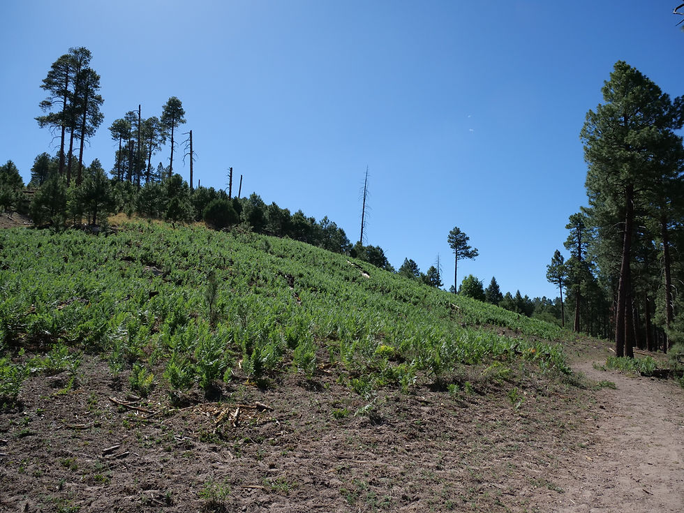
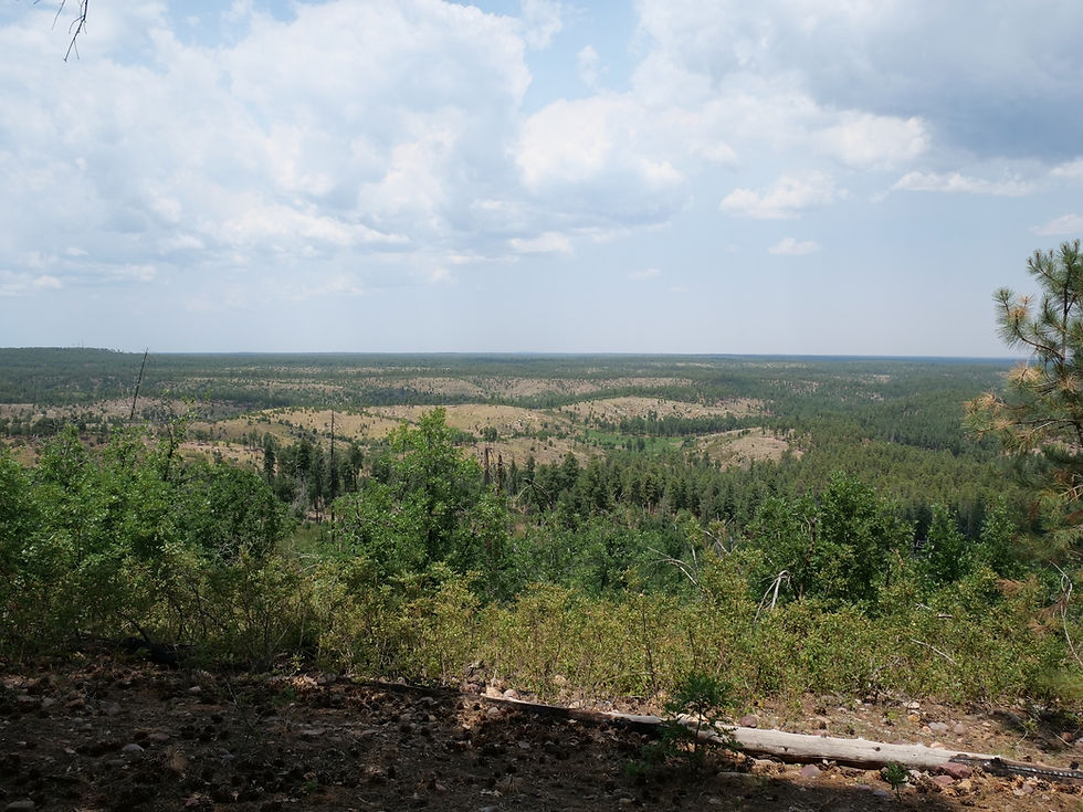

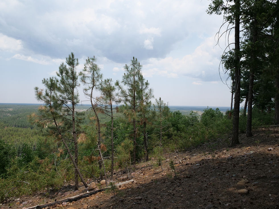


Black Canyon Rim Road (FR 300) winds through the cool, pine-covered high country of Arizona’s Mogollon Rim region, offering a peaceful escape surrounded by towering ponderosa forests. Located just minutes from Black Canyon Lake and only 12 miles from Willow Springs Lake, this area is ideal for dispersed camping, trout fishing, hiking the historic General Crook Trail, and visiting landmarks like the Pleasant Valley War gravesite. Frequent wildlife sightings—such as wild horses, elk, and bears—add to the adventure in this quiet, off-the-beaten-path destination.
Campground
Lodging
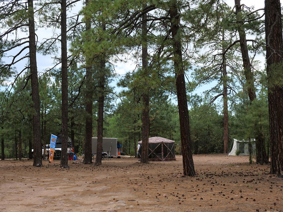
Dispersed Camping
Aware: Bear Country: Put food away at night. Dogs should remain on leash.
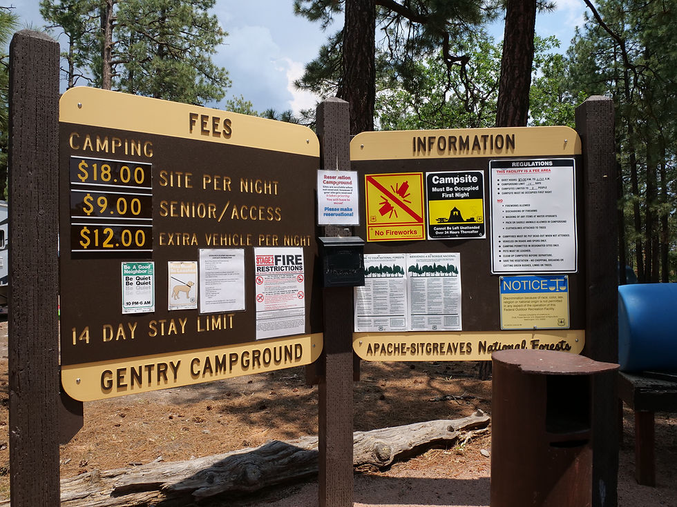
Black Canyon Rim Campground offers 20 developed campsites of varying sizes for a fee. This is the only location in the area with pit toilets and basic amenities.
Camping: Dispersed camping available, with a developed campground nearby.
Fire Restrictions: Check current seasonal fire restrictions with the Black Mesa Ranger District before starting any campfires.
Stay Limit: Maximum of 14 consecutive days.
Water: No potable water; pack in your own supply.

Notes
AZ Places
Forest
Lakes
Wildlife
Camping
OHV
Hiking
Exploring
Fishing
Have you been here?
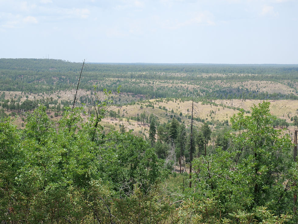
Black Canyon Rim Road, also known as Forest Road 300, is a scenic backcountry route through the cool, forested highlands of the Mogollon Rim region in northeastern Arizona. Surrounded by towering ponderosa pines and rich in natural beauty and history, this area offers a peaceful escape for campers, anglers, hikers, and wildlife enthusiasts alike.
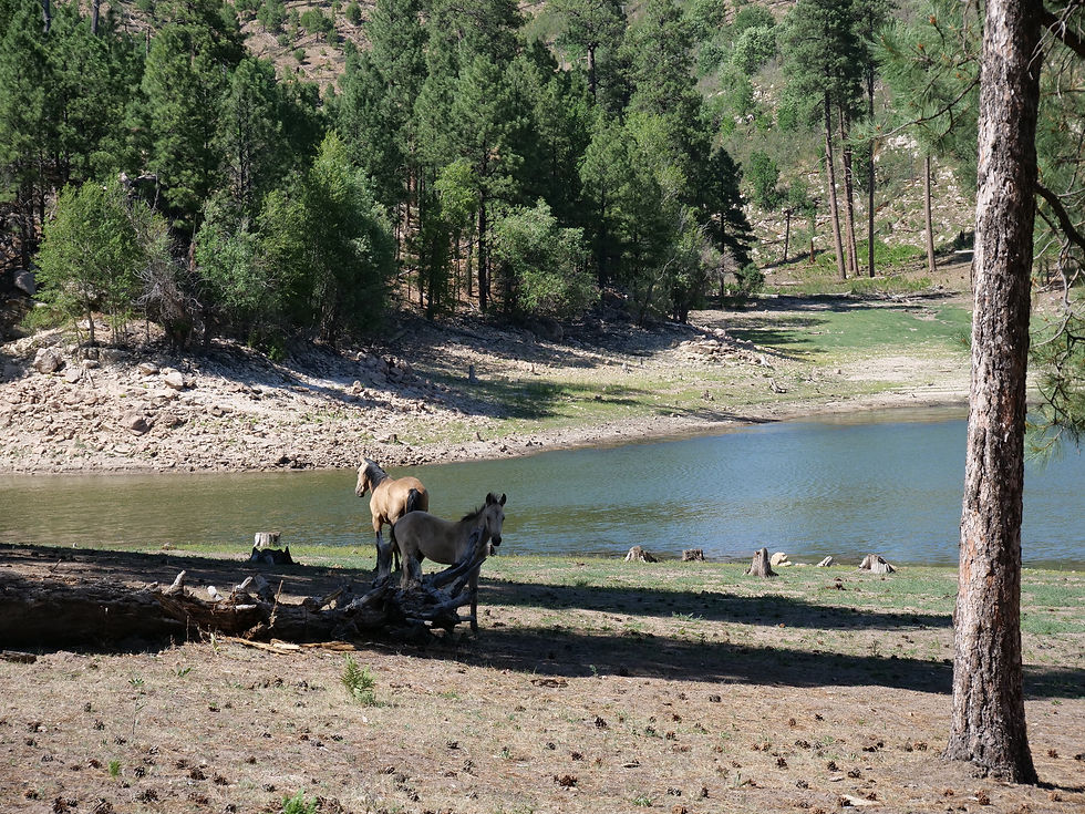
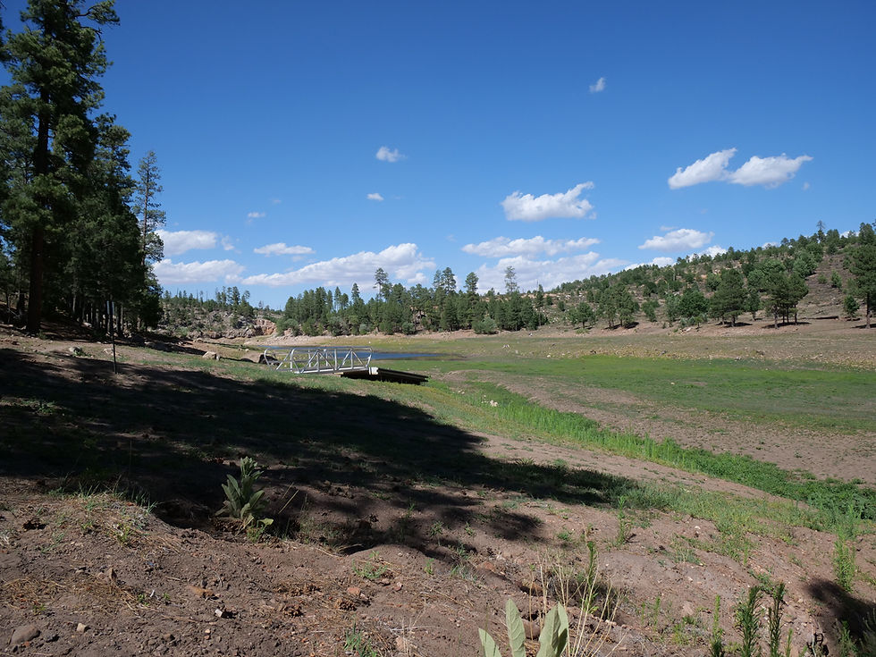
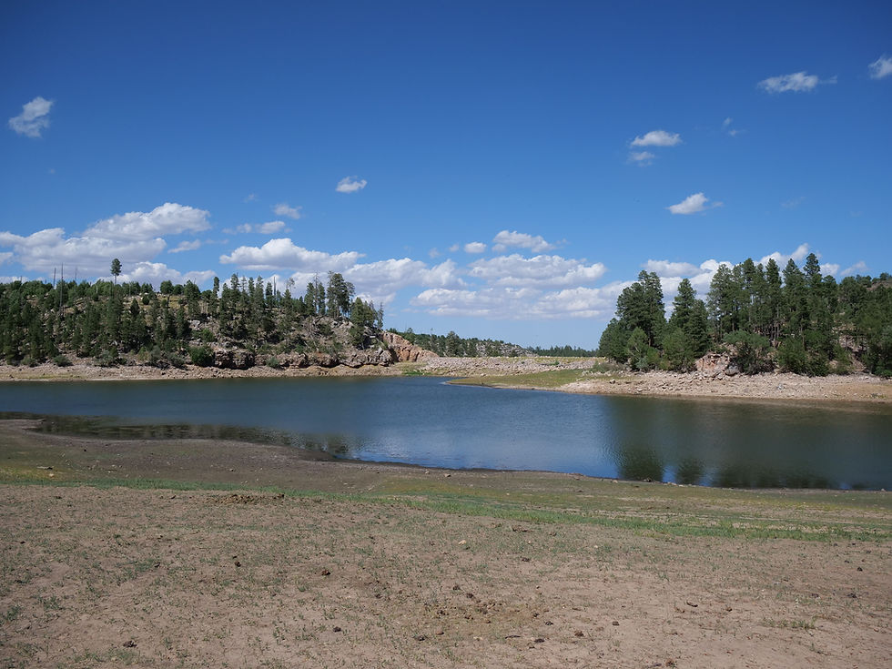
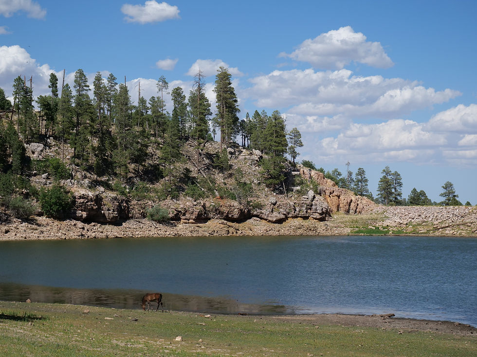
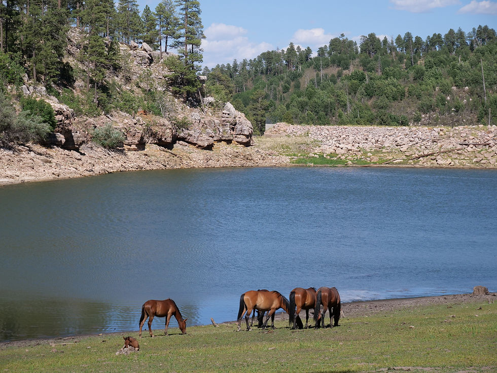
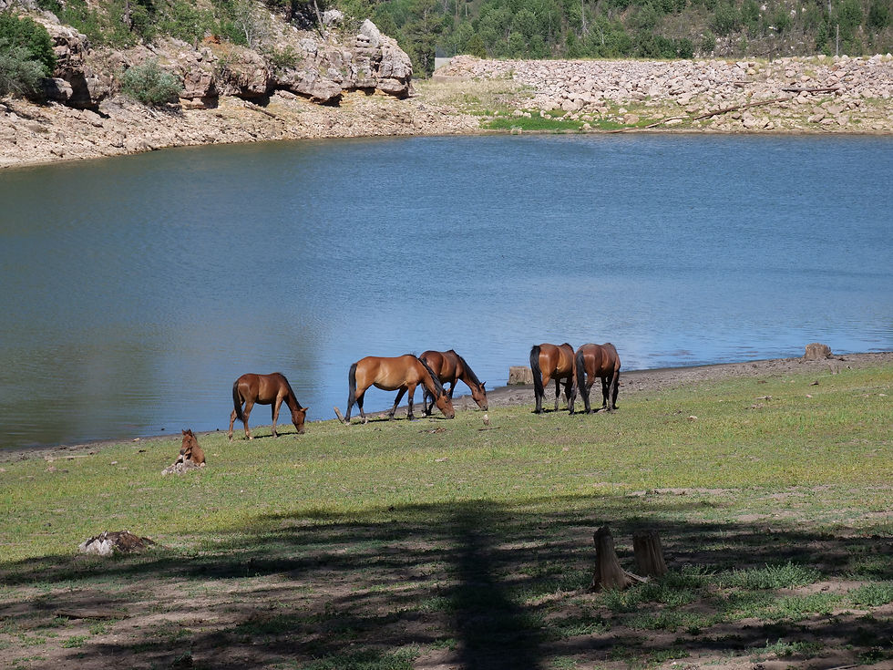
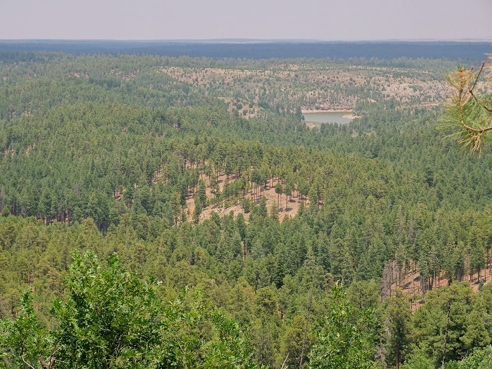
Just 3 miles northeast of FR 300 via Forest Road 86, Black Canyon Lake is a destination for trout fishing and non-motorized boating. The lake is regularly stocked with rainbow trout and offers shaded shoreline access, picnic areas, and quiet paddling opportunities nestled within the pine forest. Also nearby, just 12 miles east along FR 300 and AZ-260, Willow Springs Lake provides additional fishing, kayaking, and day-use access—making this area a great hub for lake hopping and extended camping adventures.
Hikers can explore the General Crook National Recreation Trail, which roughly follows the Rim Road and offers access to miles of quiet, forested terrain with ties to Arizona’s pioneer and military history. This historic trail commemorates the route taken by General George Crook and his troops in the late 1800s during military campaigns across the region.
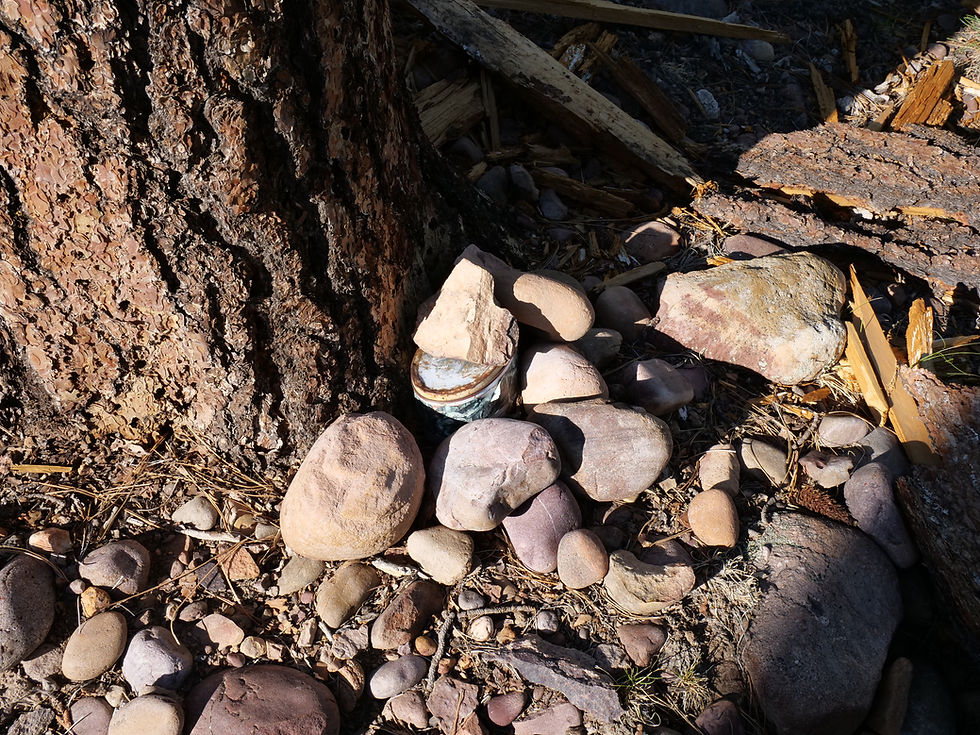
A short walk from some dispersed camping spots leads to the gravesite of Stott, Scott, and Wilson, three young men who were lynched in 1887 during the violent Pleasant Valley War—one of the bloodiest feuds in Arizona’s territorial days. This site offers a glimpse into the rugged and often brutal past of life on the Arizona frontier.
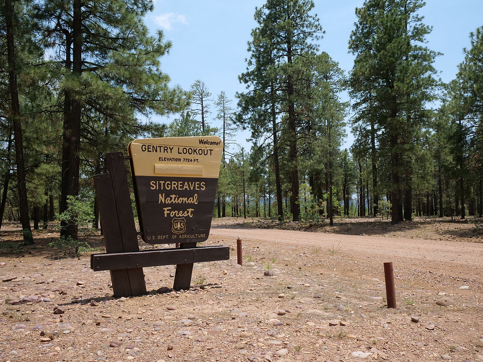
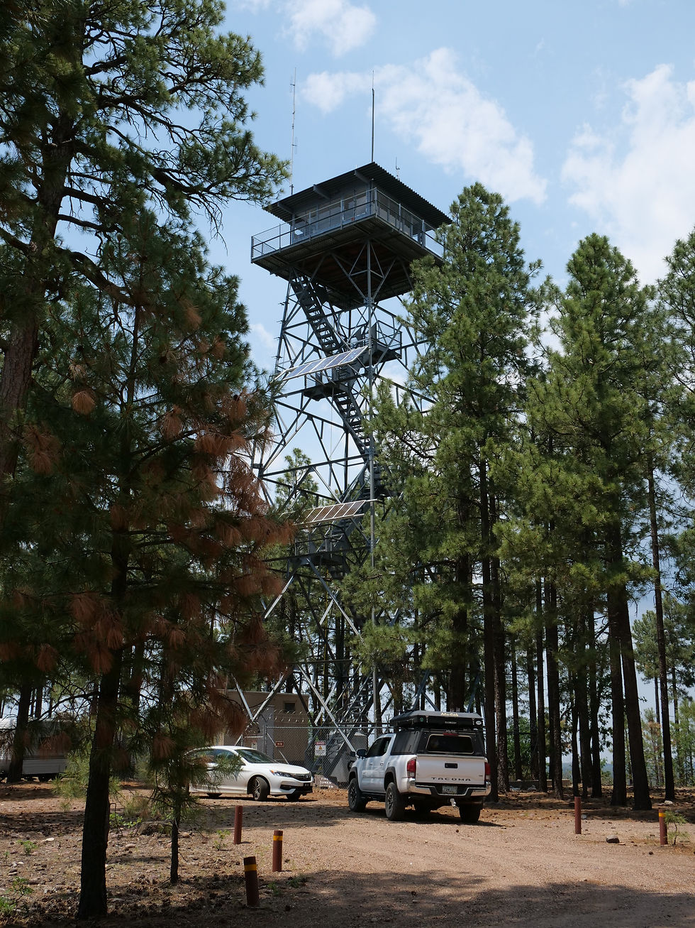
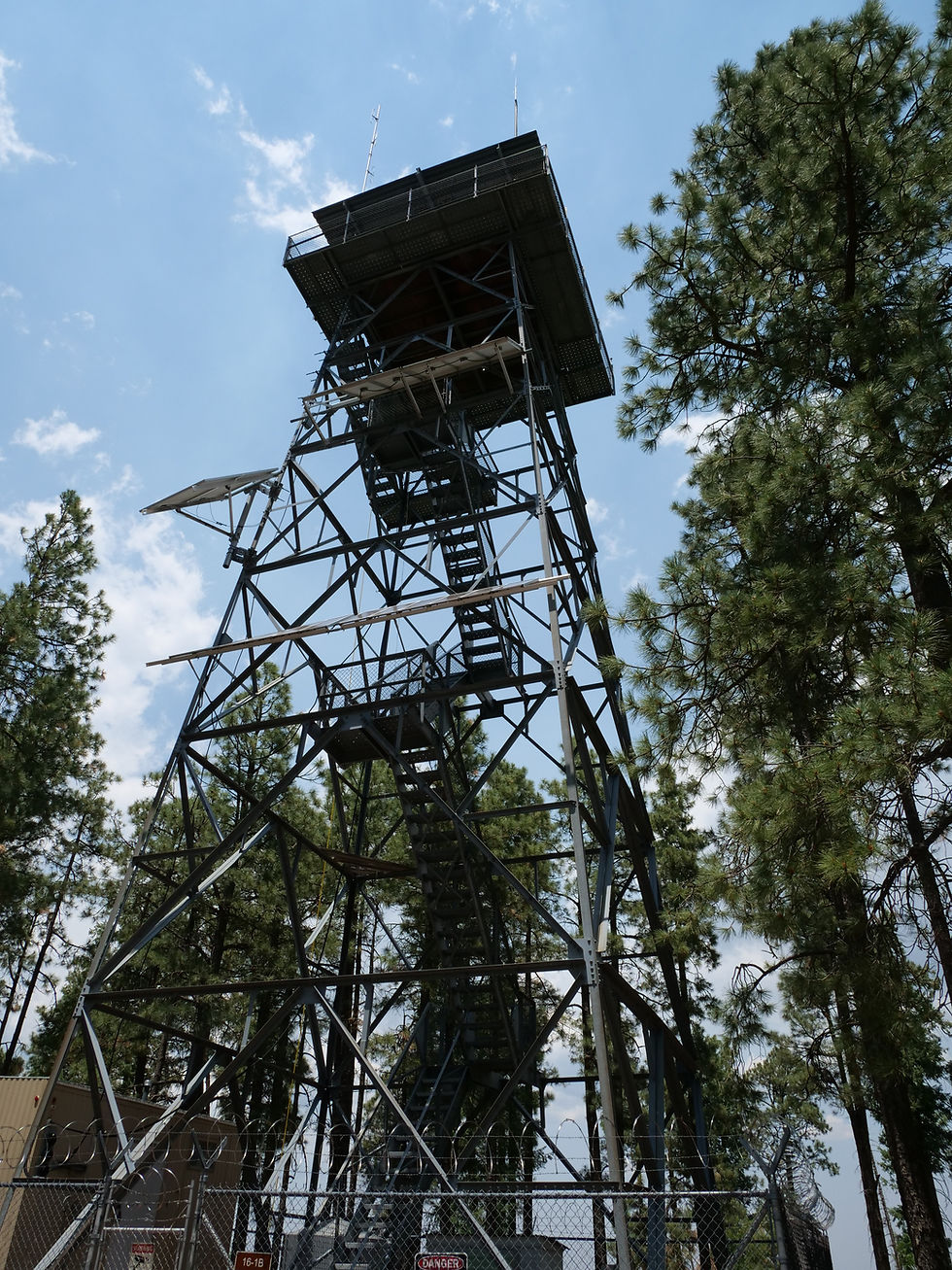
A visit to the nearby Gentry Lookout Tower, located just south of FR 300, offers a glimpse of the fire lookout facility and expansive views of the surrounding forest and rim. While the tower itself is not open to the public, the area around it provides excellent vantage points for scenic photography, forest walks, and wildlife spotting.
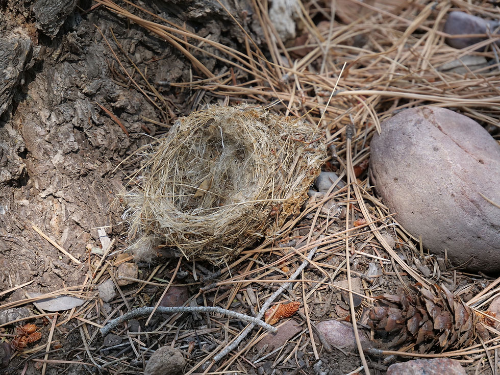
Speaking of wildlife, the Black Canyon Rim area is teeming with life. Visitors may see wild horses, elk, black bears, skunks, and squirrels, along with a wide variety of birds and the occasional fox or deer. Dawn and dusk are the best times to catch glimpses of animals grazing in open meadows or moving through the forest.
With easy access to lakes, dispersed camping, quiet trails, and fascinating history, Black Canyon Rim Road offers the perfect combination of solitude, scenery, and adventure.
Black Canyon Rim - FR 300
Arizona
Navajo County
34.31215, -110.75493

866W+V23 Forest Lakes, Arizona, USA
Apache-Sitgreaves National Forest
Elevation: 7,060 ft
Black Canyon Rim FS RD 300