
Arizona's National Forests
"Discover the Wild Heart of Arizona"


Coconino National Forest
From red rock canyons to alpine peaks, Coconino National Forest offers diverse landscapes for camping, hiking, and year-round adventure in Northern Arizona.
The Coconino National Forest is one of Arizona’s most visually diverse and ecologically rich public lands, covering nearly 1.8 million acres across Northern Arizona. Stretching from the red rock cliffs of Sedona to the volcanic peaks of Flagstaff and the forested plateaus near the Mogollon Rim, this forest offers an incredible range of scenery and experiences.
Originally established as a forest reserve in 1898, Coconino is now famous for its towering ponderosa pines, colorful sandstone canyons, alpine meadows, and ancient lava flows. It surrounds iconic natural landmarks like Oak Creek Canyon, San Francisco Peaks, Walnut Canyon, and Mormon Lake, making it a favorite destination for campers, hikers, and road trippers.
Coconino’s high elevation forests provide a cool summer escape, while its red rock country draws visitors year-round. Wildlife is abundant, including elk, deer, black bears, foxes, eagles, and countless bird species. Whether you're exploring lava tubes near Flagstaff, camping beneath pines at Lake Mary, or hiking into Sedona's rugged backcountry, Coconino National Forest delivers unforgettable outdoor experiences.
Plan Your Visit
Seasons: Spring through Fall for mountain camping; year-round access to lower elevations near Sedona.
Nearest Towns: Flagstaff, Sedona, Munds Park, Camp Verde, Payson.
Camping Options: Both dispersed and developed campgrounds available. Permits or fees may apply in certain areas.
Popular Activities: Camping, hiking, backpacking, mountain biking, fishing, climbing, wildlife watching, scenic driving.
Top Spots: Oak Creek Canyon, West Fork Trail, Humphreys Peak, Red Rock Crossing, and Lava River Cave.
Whether you're looking for a weekend in the pines or a red rock escape, the Coconino National Forest has something for everyone — it’s the perfect place to unplug, explore, and reconnect with nature in the heart of Arizona.
Ranger Districts
Coconino National Forest
Mogollon Rim Ranger District
(928) 477-2255
8738 Ranger Road, Happy Jack, AZ 86024
Flagstaff Ranger District
(928) 526-0866
5075 N. Highway 89, Flagstaff, AZ 86001
Red Rock Ranger District
(928) 203-2900
8375 State Route 179, Sedona, AZ 86351

C.C. Cragin Reservoir
Mogollon Rim Ranger District


Arizona
Coconino County
HR33+PG Happy Jack, Arizona

34°33′16.3″N 111°11′50.7″W
2 hours 35 minutes
136 miles
C.C. Cragin Reservoir — more commonly known as Blue Ridge Reservoir — is one of the most distinctive high-country lakes in Arizona, a narrow canyon-bound reservoir near Happy Jack that looks more like a river than a lake, fed by three watersheds at 6,700 feet, stocked with rainbow, brown, and tiger trout, and surrounded by the ponderosa pine forest of the Mogollon Rim Ranger District in the Coconino National Forest.
Edge of the World (FR 231)
Red Rock Ranger District


Arizona
Coconino County
X5JF+JG Sedona, AZ
34°58'52" N, 111°49'36" W
3 hours 25 minutes
188 miles
Edge of the World — known officially as East Pocket — is one of the most dramatic free dispersed camping destinations in Arizona, perched at nearly 8,000 feet on the rim of the Mogollon Rim escarpment in the Coconino National Forest with sweeping views of Sedona's Red Rock-Secret Mountain Wilderness, Cottonwood, and Mingus Mountain stretching across the Verde Valley far below.
Fossil Creek Wild and Scenic River
Red Rock Ranger District






Arizona
Yavapai County
98VX+VP Pine, AZ
34°23'40.6"N 111°39'02.5"W
2 hours 35 minutes +
135 miles
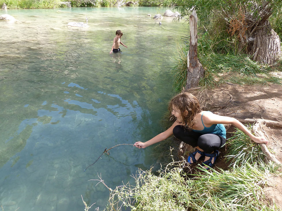
Fossil Creek is one of only two Wild and Scenic Rivers in Arizona — a spring-fed desert oasis discharging over 30 million gallons of 72°F water daily from the base of the Mogollon Rim, with crystal-clear turquoise pools, travertine waterfalls, lush riparian habitat, and one of the most dramatic creek restoration stories in the American Southwest.
Happy Jack (FR 81)
Mogollon Rim Ranger District


Arizona
Coconino County
MJ2G+RHM Lost Eden, Arizona
34°38'08.8"N 111°22'55.7"W
2 hours 30 minutes
140 miles
Happy Jack, located in the Mogollon Rim Ranger District of the Coconino National Forest, offers a peaceful escape for dispersed camping. With its cooler summer temperatures, towering pines, and diverse wildlife, it’s a perfect destination for outdoor exploration and relaxation.
Howard Pocket (FR 536A)
Red Rock Ranger District



Arizona
Coconino County
25GV+J3C Oak Creek Canyon
35°01'35.6" N, 111°48'26.5" W
3 hours 20 mintues
182 miles
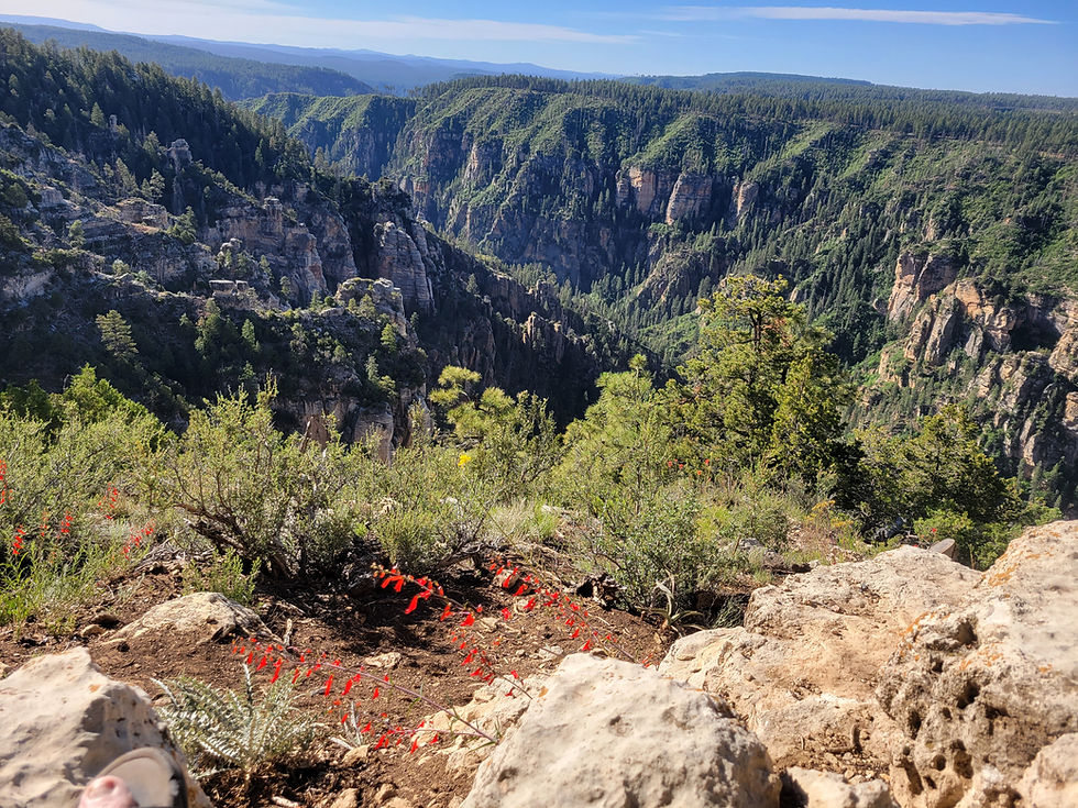
Howard Pocket is one of eight designated dispersed camping areas on the Coconino National Forest rim above Sedona — a ridge-top camp at over 6,000 feet with sweeping views of the Red Rock-Secret Mountain Wilderness, West Fork Oak Creek Canyon below, and a panorama stretching east to Oak Creek Canyon, I-17, and the fire towers of the Mogollon Rim country.
Jacks Canyon (FR 230)
Mogollon Rim Ranger District






Arizona
Coconino County
PGQX+M8H Happy Jack, AZ
34°44'21.1"N 111°27'05.9"W
2 hours 30 minutes
146 miles
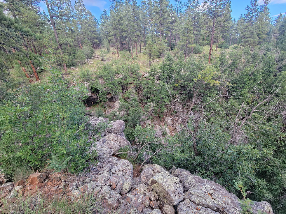
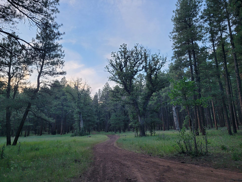
Jacks Canyon along FR 230 in the Coconino National Forest south of Flagstaff is a remote and rewarding dispersed camping destination on the Mogollon Rim — a forested canyon corridor with access to Stoneman Lake, Bill Back Butte, Jackson Butte, spring gauge systems, wild foraging, and miles of canyon hiking through washes, rims, and animal trails in classic high-country Arizona.
Lava River Cave
Flagstaff Ranger District


Arizona
Coconino County
171b Forest Rd, Flagstaff, AZ 86001
35°20'32.2"N 111°50'08.2"W
3 hours
195 miles
Lava River Cave northwest of Flagstaff is Arizona's longest accessible lava tube — a mile-long underground corridor formed 700,000 years ago when molten rock drained from a solidified outer shell, leaving a dark, cathedral-quiet passage through the Coconino National Forest ponderosa pine country at 7,684 feet.
Mogollon Rim — FR 608 (Pine, AZ)
Black Mesa Ranger District











Arizona
Gila County
Forest Service Rd 608, Strawberry, Arizona 85544
34°25'40.7"N 111°27'31.9"W
2 hours
113 miles
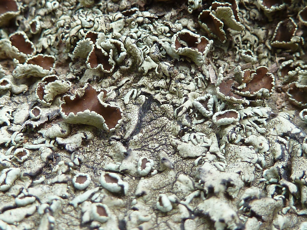
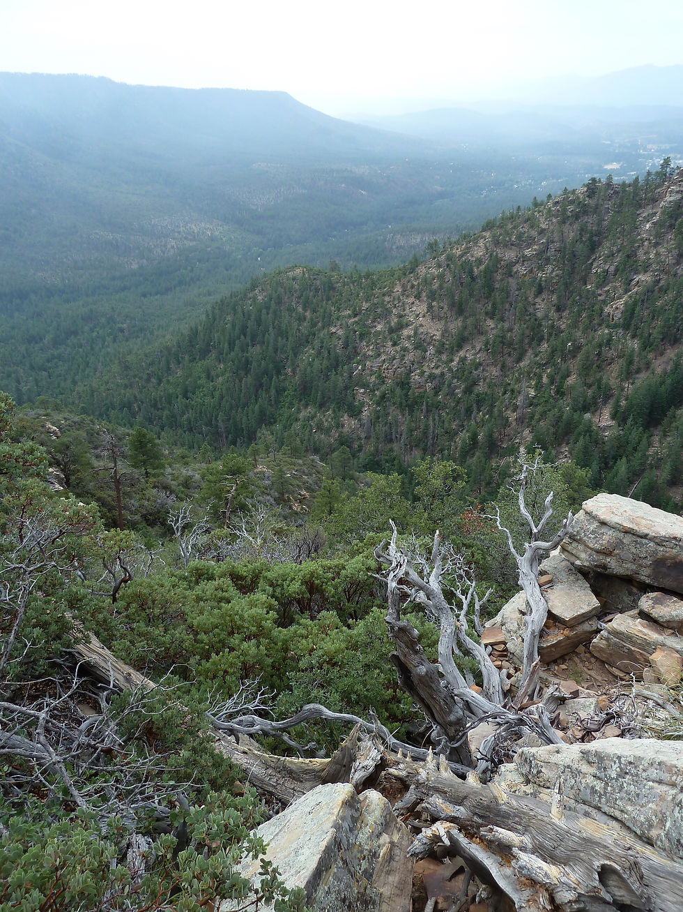
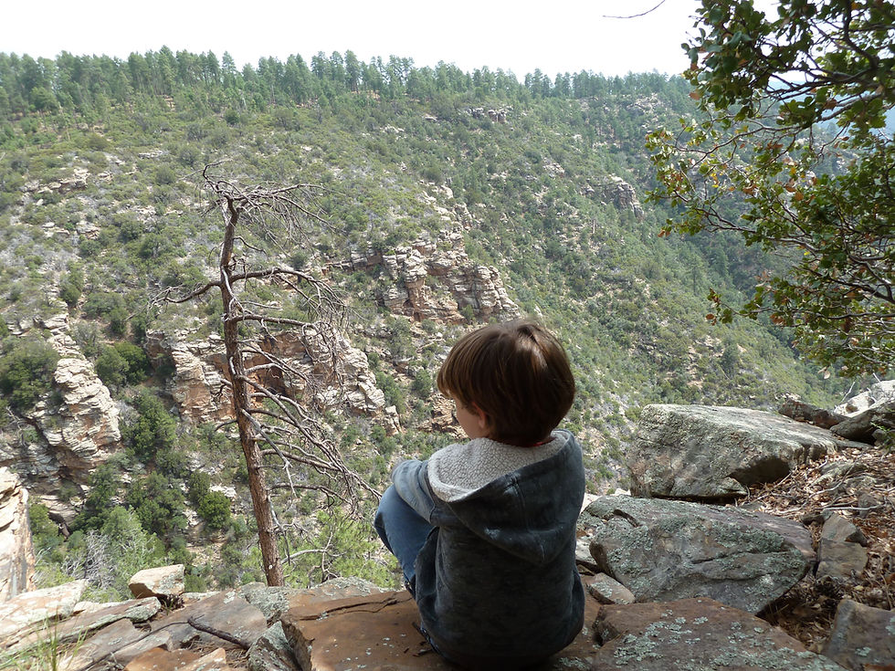
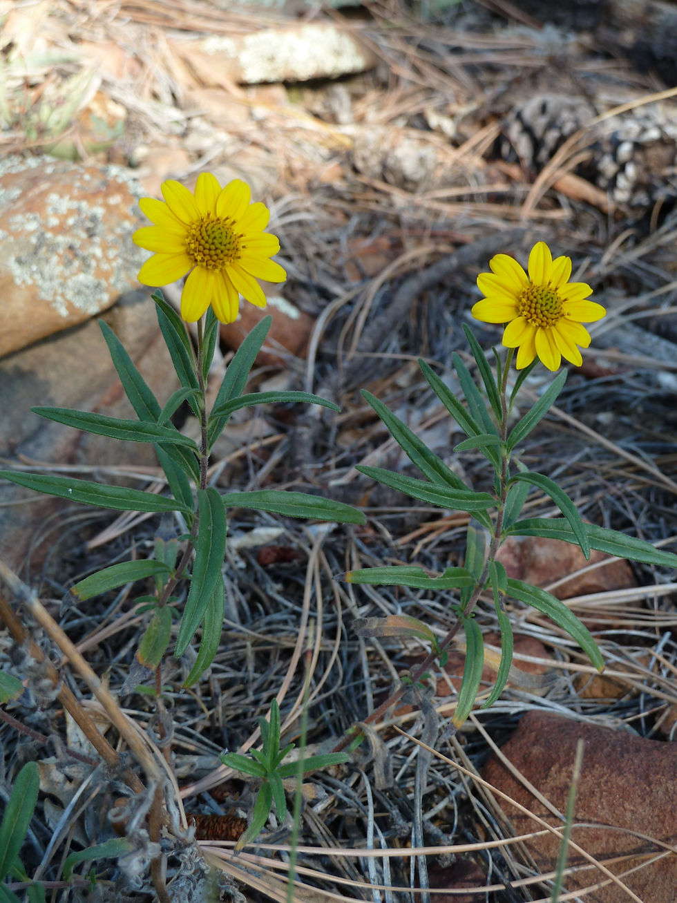
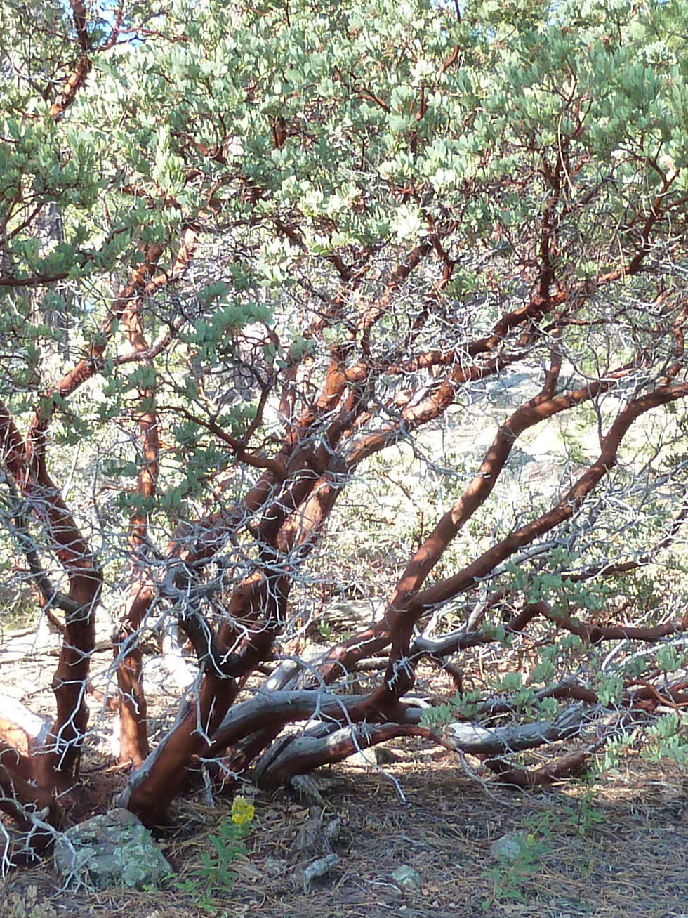
Forest Road 608 on the western Mogollon Rim near Pine, Arizona offers some of the most accessible and rewarding dispersed camping in the Coconino National Forest — rim-edge canyon views, cool ponderosa pine forest at 7,000 feet, wildlife, wildflowers, and classic high-country solitude just 90 minutes from Phoenix.
Moqui (FR 95)
Mogollon Rim Ranger District















Arizona
Coconino County
Forest Service Rd 513, Happy Jack, AZ 86024
34°34'21.9"N 111°10'06.5"W
2 Hours 30 minutes
137 miles
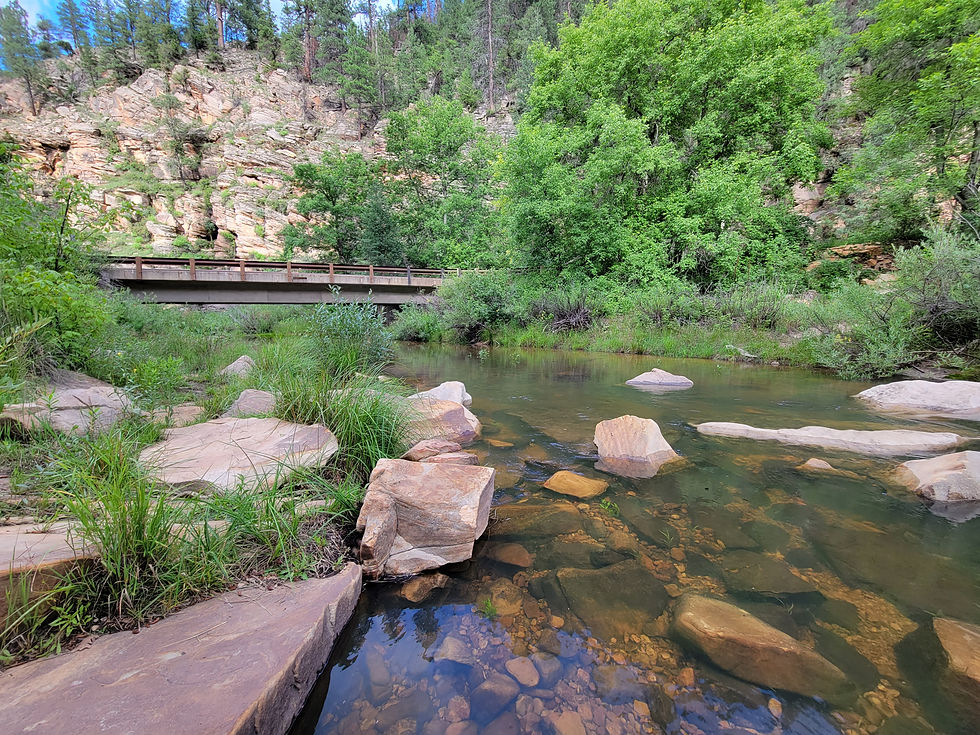
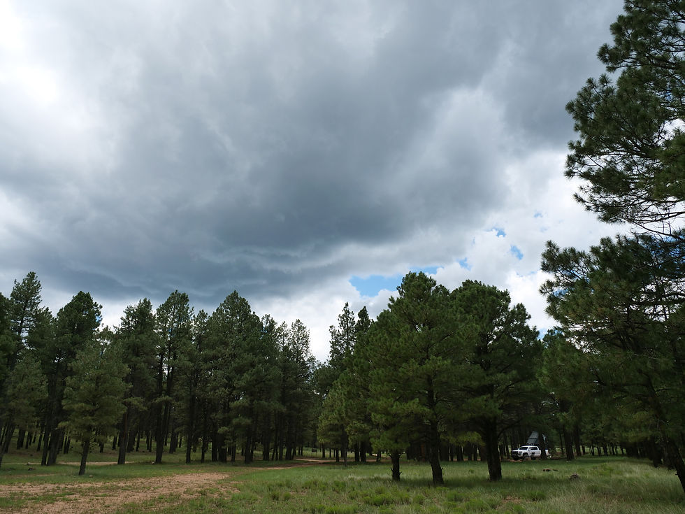
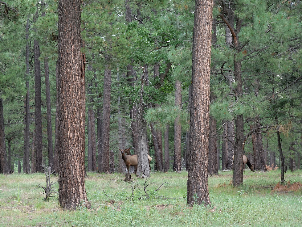
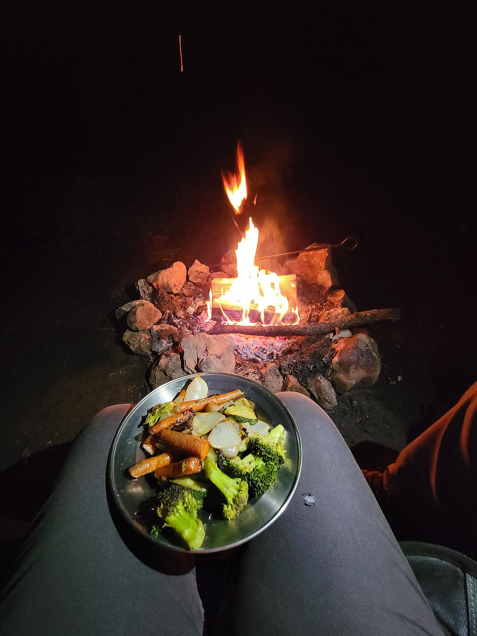
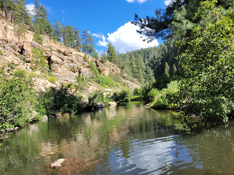
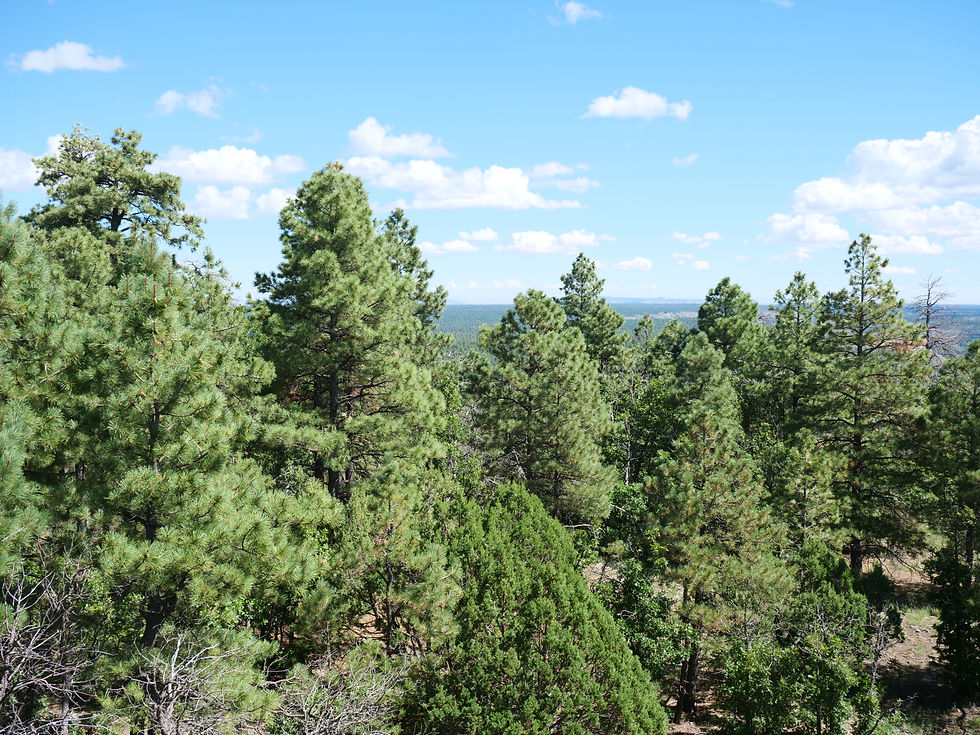
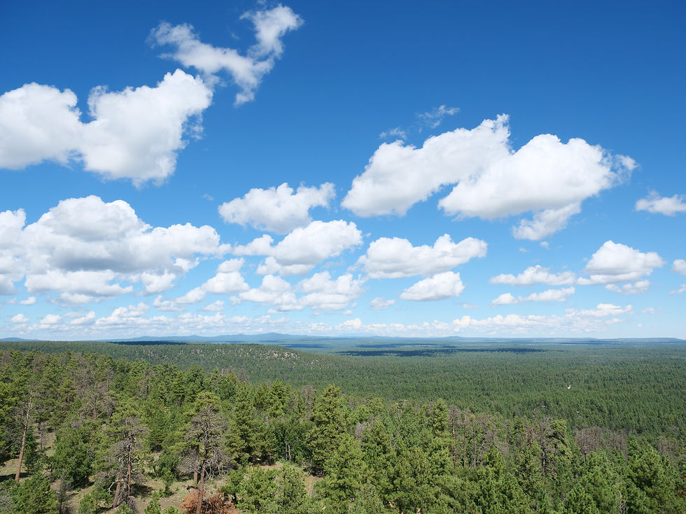
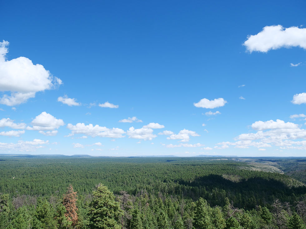
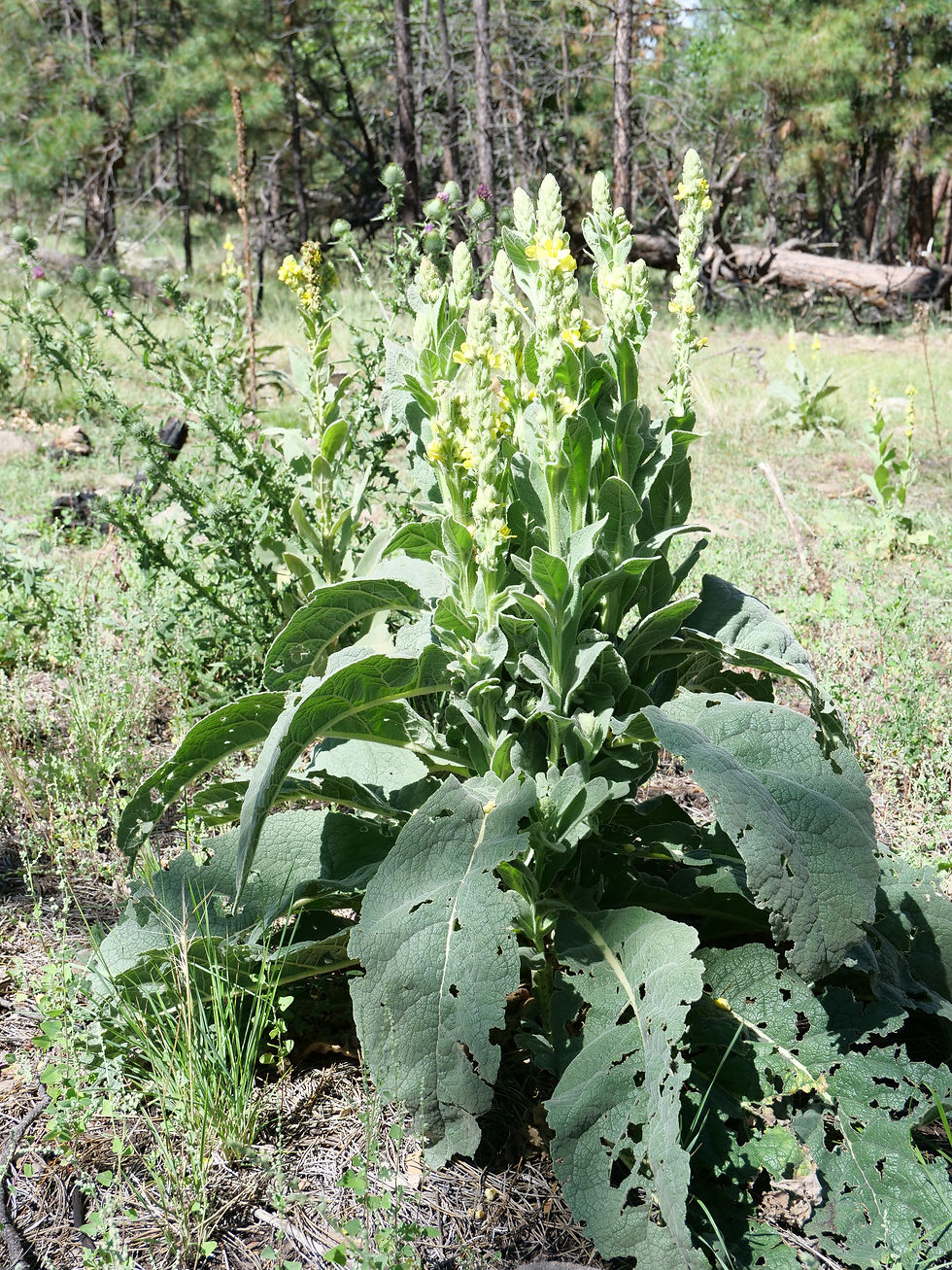
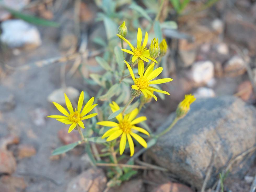
FR 95 is a 30-mile forest road corridor through the Coconino National Forest below the Mogollon Rim — offering some of the best dispersed camping in Arizona, with nearby access to East Clear Creek, the historic Moqui Lookout fire tower, Blue Ridge Reservoir, water play in Barbershop Canyon, and miles of ponderosa pine backcountry to explore.
Oak Creek (Midgley Bridge)
Red Rock Ranger District




Arizona
Coconino County
V7P5+59 Sedona, AZ
34°53'08.8"N 111°44'29.9"W
2 hours 15 minutes
141 miles
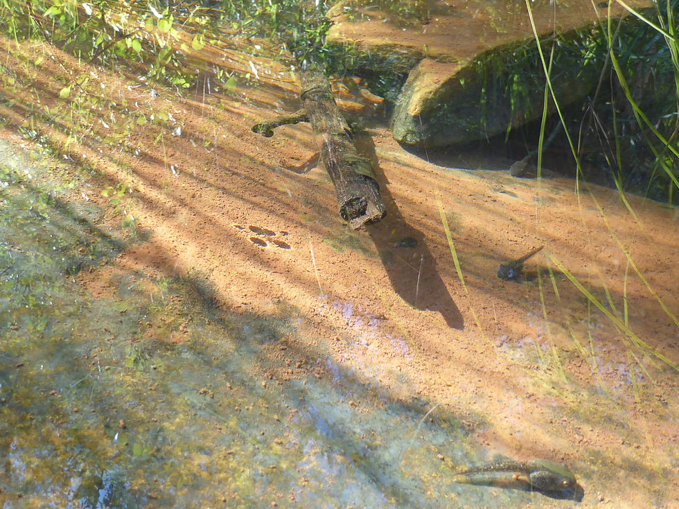
The Midgley Bridge swimming hole on Oak Creek in Sedona is one of the most beautiful and accessible creek experiences in Arizona — reached by a short descent on the Midgley Bridge Trail and Huckaby Trail, with red rock narrows, natural water chutes you can ride, deep swimming holes, and canyon views that rival anything Slide Rock has to offer with a fraction of the crowds.
Oak Creek (Red Rock Crossing)
Red Rock Ranger District


Arizona
Yavapai County
5150 Verde Valley School Rd, Sedona, AZ 86351, USA
34°49'29.2"N 111°48'12.0"W
2 hours 10 minutes
136 miles
Red Rock Crossing on Oak Creek near the Village of Oak Creek is one of the most iconic and photographed views in Arizona — Cathedral Rock rising 1,515 feet above the creek, reflected in pools of clear water, accessible via the Baldwin Trail from Verde Valley School Road with swimming holes, Buddha Beach, sand banks, and the kind of day that ends with a double rainbow if you stay long enough.
Palatki Heritage Site
Red Rock Ranger District















Arizona
Coconino County
W37X+V32 Sedona, AZ
34.91464, -111.90237
2 hours 40 minutes
142 miles
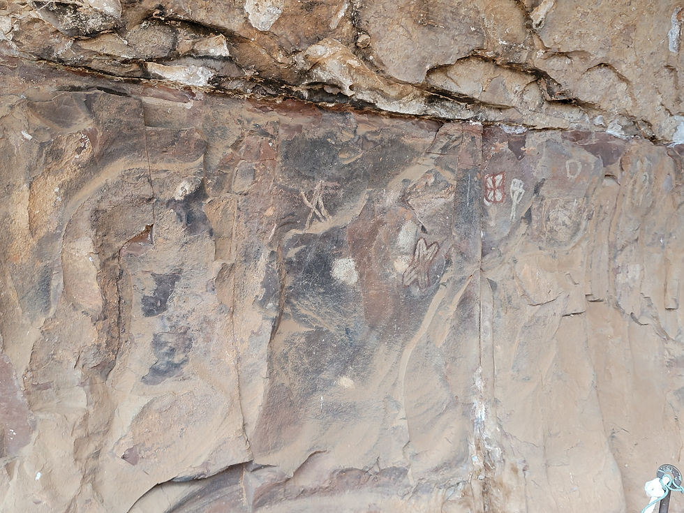
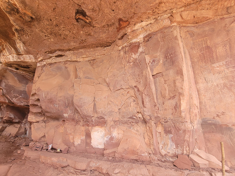
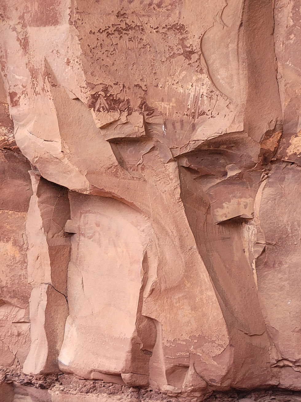
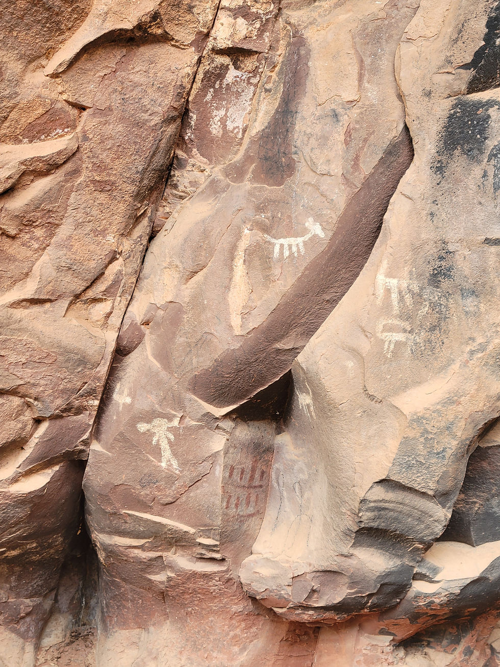
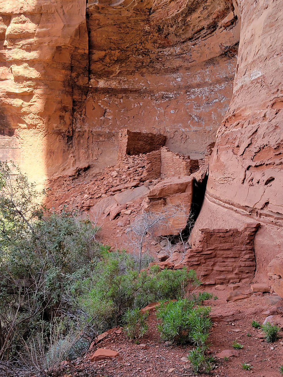
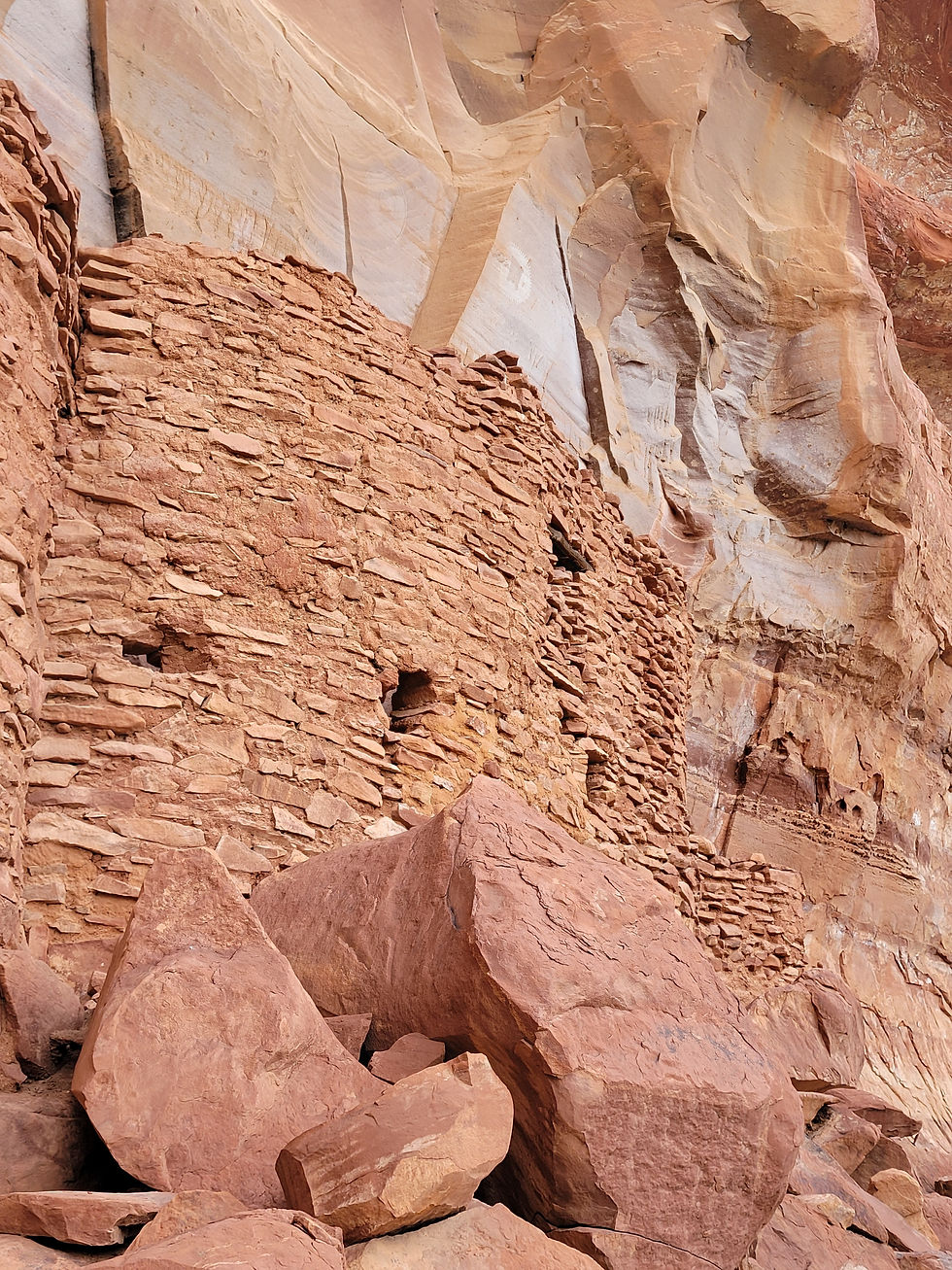
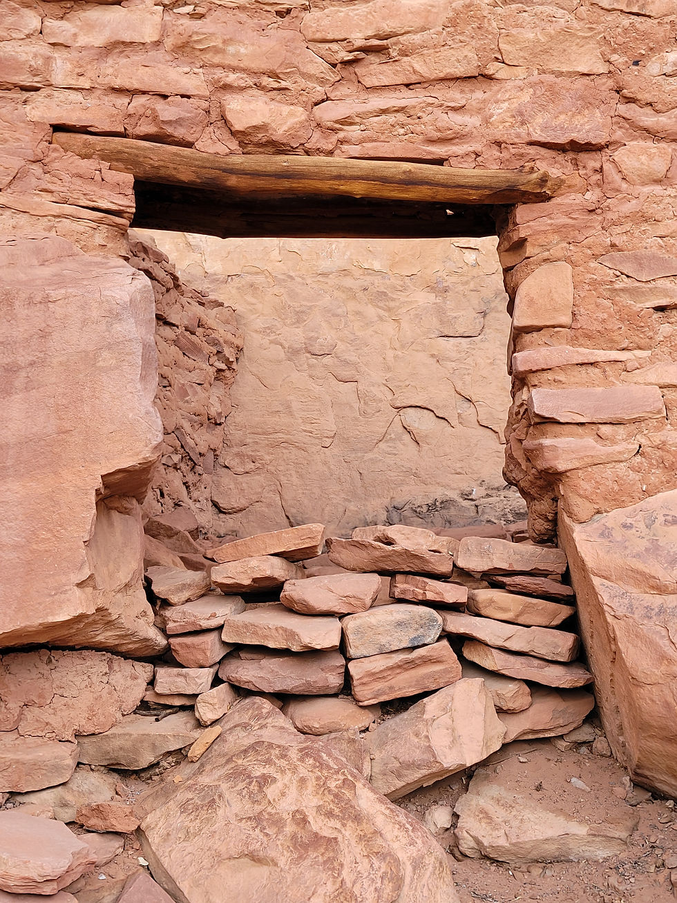
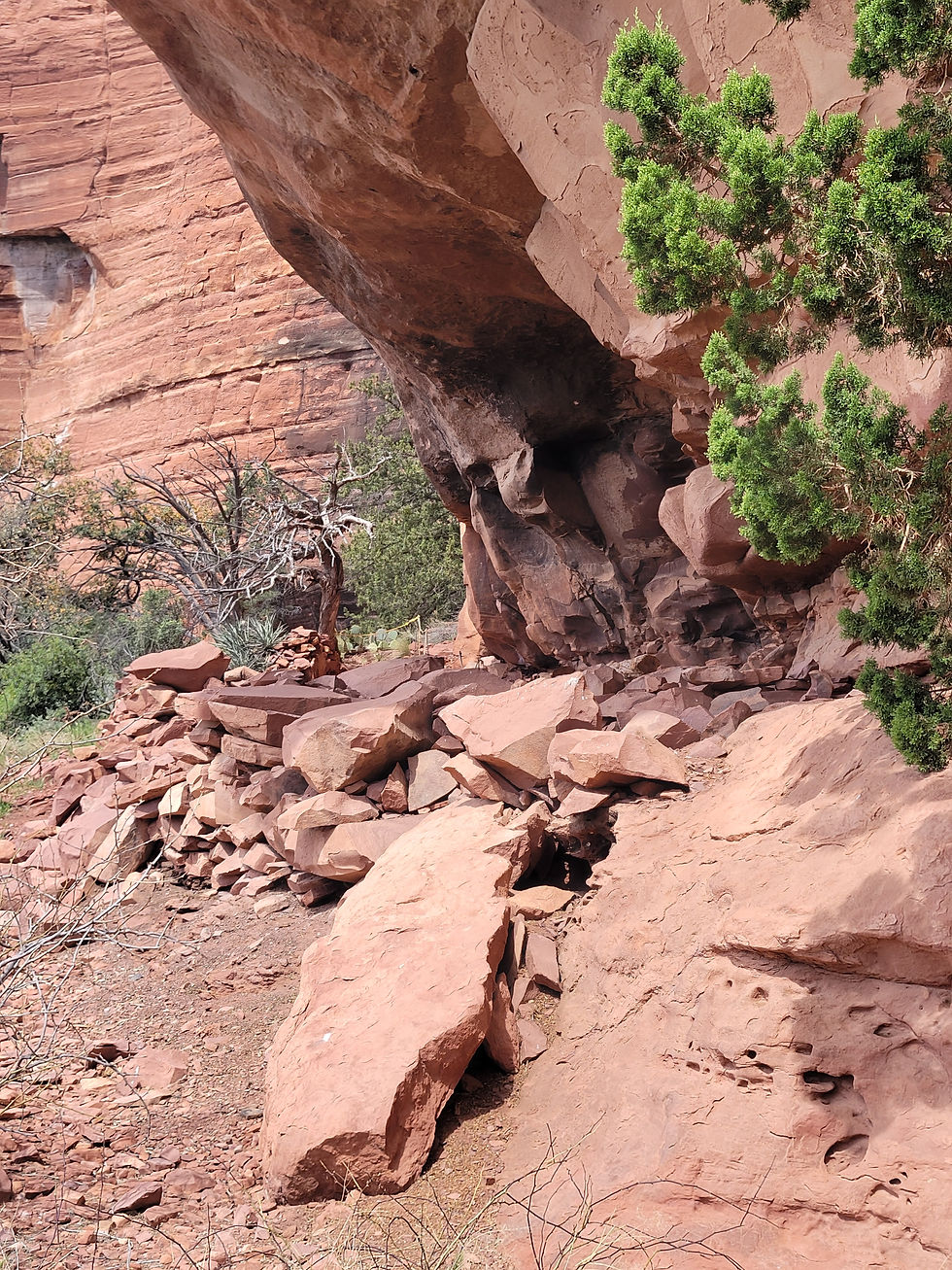
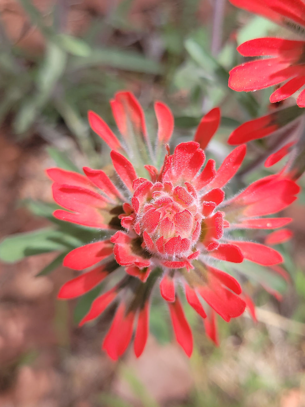
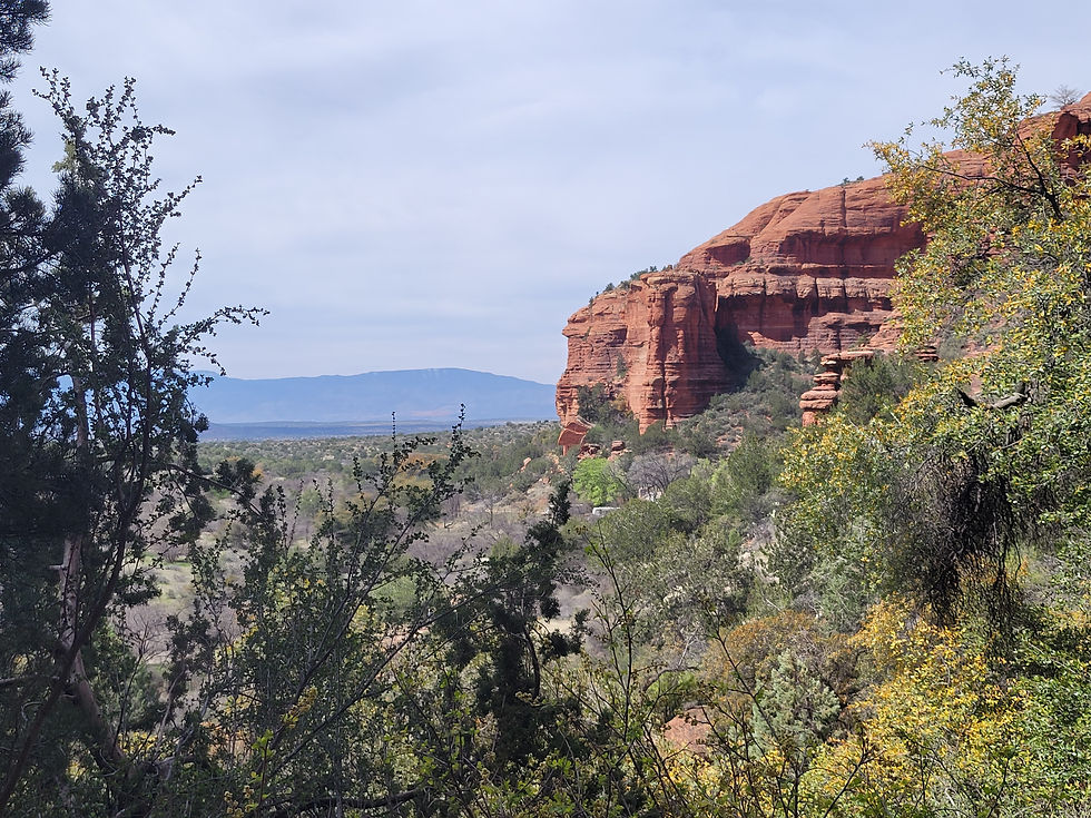
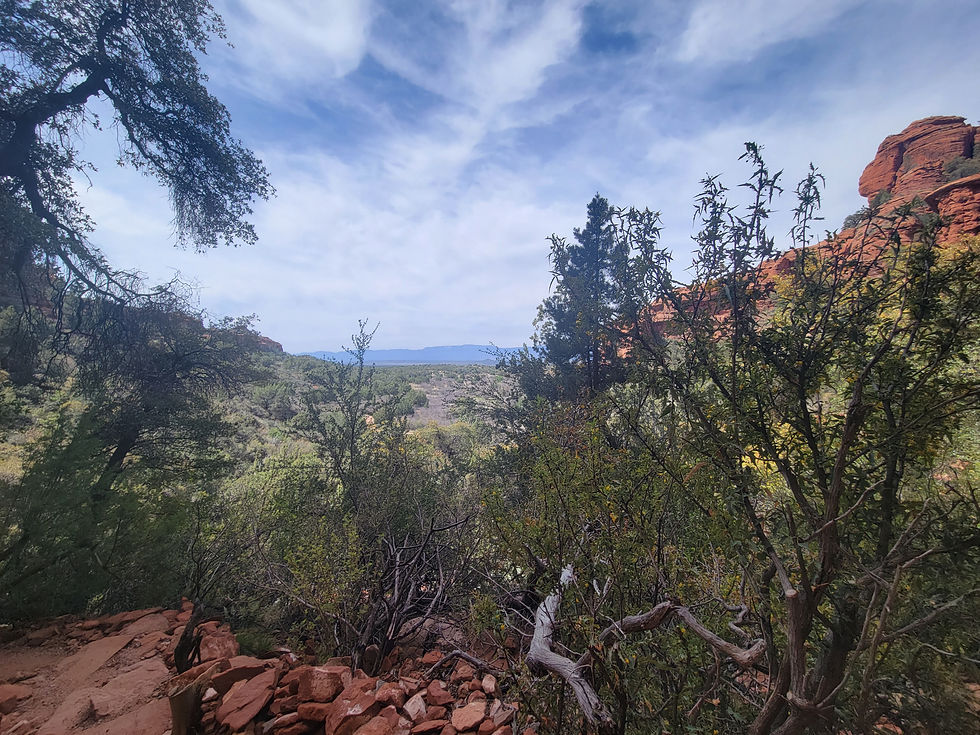
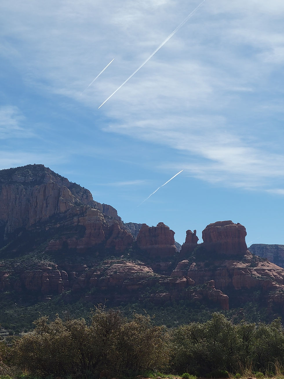
Palatki Heritage Site is one of the largest and best-preserved Sinagua cliff dwelling complexes near Sedona, Arizona — featuring ancient rock art, pictographs up to 6,000 years old, and guided tours through red sandstone alcoves in the Coconino National Forest.
Robbers Roost — Hideout Cave
Red Rock Ranger District


Arizona
Yavapai County
W2JH+95 Sedona, AZ
34°55'49.5"N 111°58'04.2"W
2 hours 40 minutes
144 miles
Robbers Roost Trail near Sedona leads to a historic outlaw hideout cave in the red rock country of the Coconino National Forest — a rocky trail through classic Arizona high desert to a cave with framed views of Sedona's red rock cliffs, a dozen or more deer grazing in the canyon below, and dispersed camping available along the adjacent FR 258 Buckboard Road for those looking to stay.
Sycamore Canyon (Parsons Trail)
Red Rock Ranger District








Arizona
VW7J+M7 Sedona, AZ
34°51'50.5"N 112°04'09.3"W
2 hours 40 minutes
140 miles
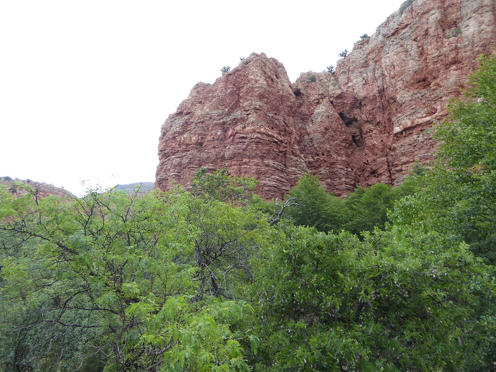
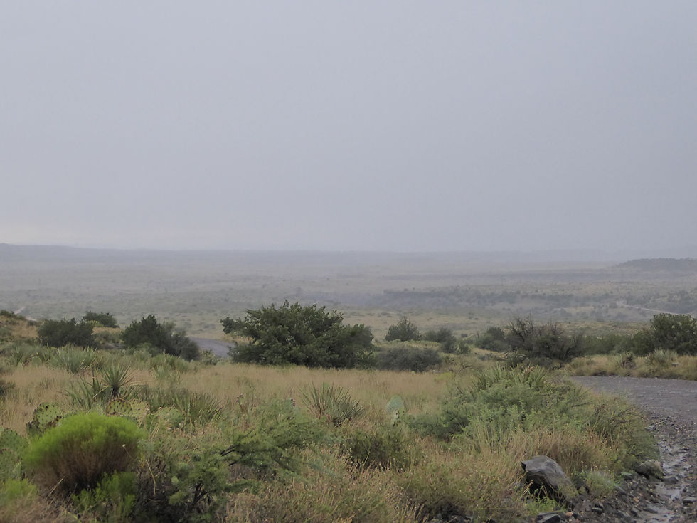
Parsons Trail is the gateway to Sycamore Canyon Wilderness — Arizona's largest canyon wilderness at 56,000 acres, stretching 21 miles from the Verde Valley floor to the Colorado Plateau rim. A 7.4-mile round trip along Sycamore Creek through towering red sandstone walls leads to Parsons Spring, one of the most rewarding hike-to destinations in central Arizona.
West Fork Oak Creek Trail
Red Rock Ranger District









Arizona
Coconino County
W Fork Trail, Oak Creek Canyon, AZ 86336, USA
34°59'26.3"N 111°44'33.1"W
2 hours 30 minutes
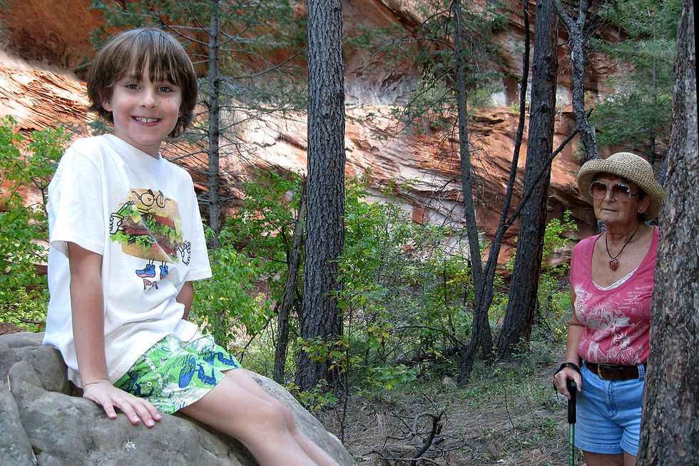
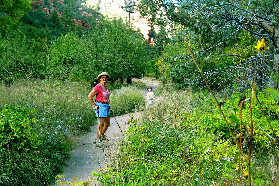
150 miles
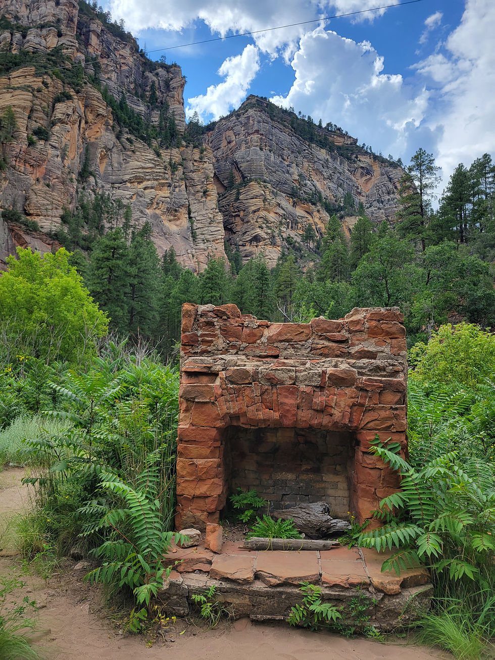
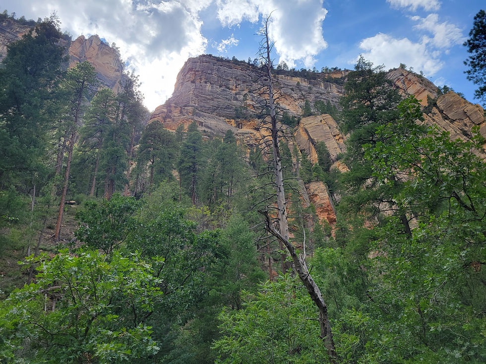
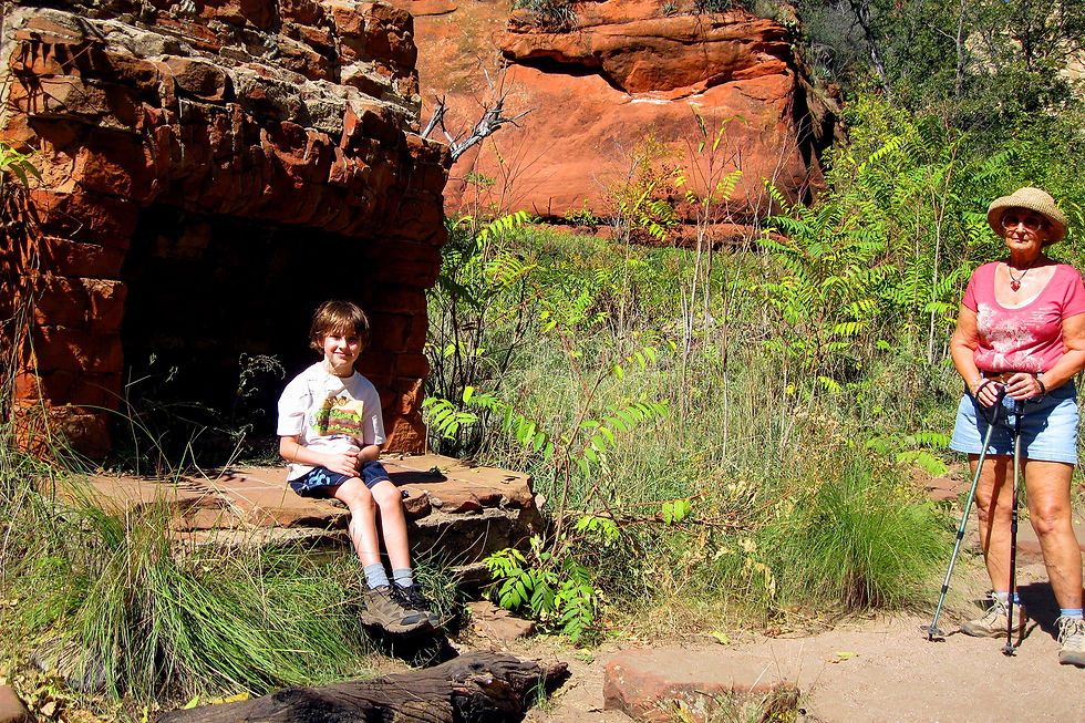
West Fork Oak Creek Trail in Oak Creek Canyon is consistently ranked among the finest hikes in Arizona — a 6.6-mile round trip through a narrowing red rock canyon alongside the West Fork of Oak Creek, past the ruins of the historic Mayhew Lodge, beneath towering cliffs hundreds of feet tall, with thirteen creek crossings and a canyon that gets more dramatic the further you go.